
Opština Temerin, municipality of Serbia
Location: South Bačka District
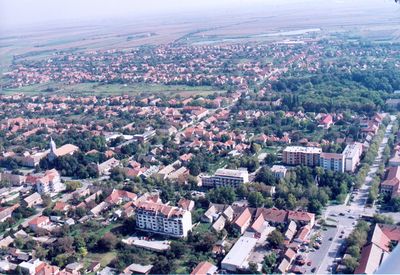
Capital city: Temerin
Website: http://temerin.rs
GPS coordinates: 45.41056,19.90167
Latest update: March 26, 2025 08:53
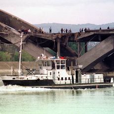
Žeželj Bridge
16.8 km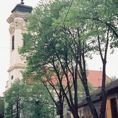
Almaš church
16.4 km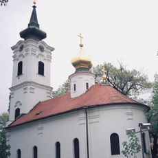
Nikolajevska crkva, Novi Sad
17.5 km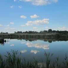
Парк природе Бељанска бара
13.8 km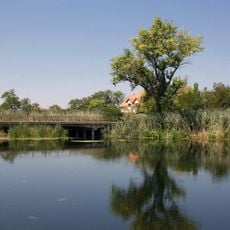
Jegricka Nature Park
7.8 km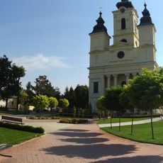
Church of the Holy Ascension
15.5 km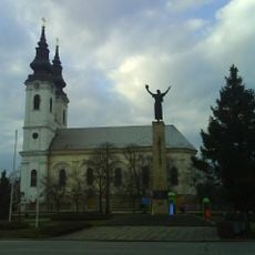
Church of the Epiphany of the Lord, Srbobran
17.4 km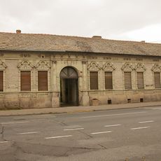
Family house of Mileva Marić-Einstein
17.2 km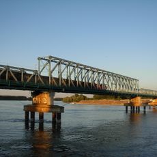
Boško Perošević Bridge
16.9 km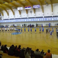
Hram Sport Hall
12.8 km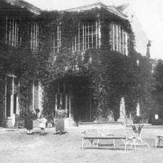
Château Kaštel à Temerin
1.9 km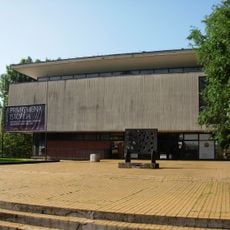
Museum of Contemporary Art of Vojvodina
17.6 km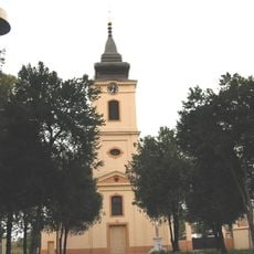
Crkva Uzvišenja Svetog križa
17.4 km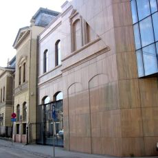
Matica Srpska Library
17.4 km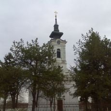
Église Saint-Nicolas de Kać
12.8 km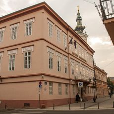
Platoneum
17.5 km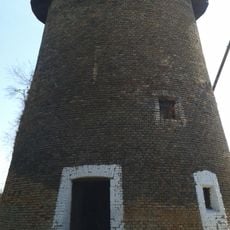
Moulin à vent à Čurug
13.4 km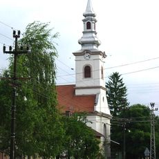
Temple calviniste de Rumenka
17.1 km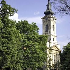
Église Saint-Nicolas de Žabalj
15.7 km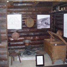
Ethno-park "Brvnara" Backi Jarak
5.4 km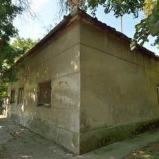
Војнограничарска зграда у Надаљу
11.1 km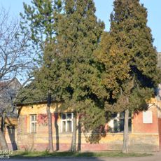
Родна кућа народног хероја Радивоја Ћирпанова
15 km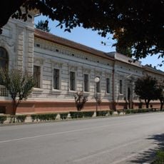
Зграда Скупштине општине Србобран
17.3 km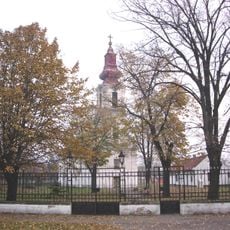
Church of the Transfer of the relics of the Holy Father Nicholas, Turija
13.1 km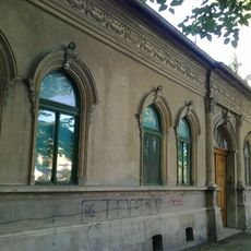
Maison située 37 rue Kraljevića Marka à Novi Sad
17.3 km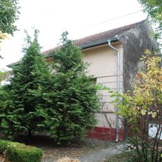
Quartier général des Partisans à Novi Sad
16.8 km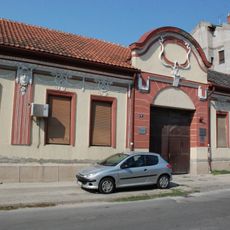
Maison située 10 rue Dositejeva à Novi Sad
17.1 km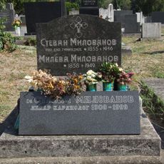
Tombe de Stevan Milovanov
16.9 kmReviews
Visited this place? Tap the stars to rate it and share your experience / photos with the community! Try now! You can cancel it anytime.
Discover hidden gems everywhere you go!
From secret cafés to breathtaking viewpoints, skip the crowded tourist spots and find places that match your style. Our app makes it easy with voice search, smart filtering, route optimization, and insider tips from travelers worldwide. Download now for the complete mobile experience.

A unique approach to discovering new places❞
— Le Figaro
All the places worth exploring❞
— France Info
A tailor-made excursion in just a few clicks❞
— 20 Minutes