
Čenej, human settlement
Location: South Bačka District
Elevation above the sea: 85 m
GPS coordinates: 45.36690,19.79780
Latest update: March 11, 2025 20:20
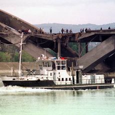
Žeželj Bridge
12.6 km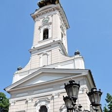
Saint George's Cathedral
12.8 km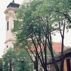
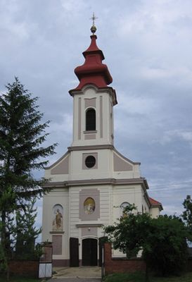
Almaš church
11.6 km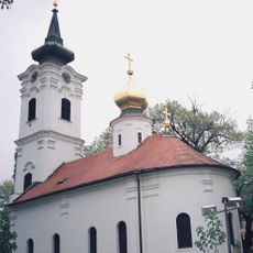
Nikolajevska crkva, Novi Sad
12.6 km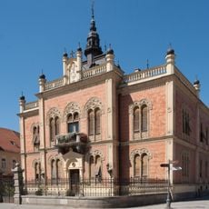
Vladičanski dvor (Novi Sad)
12.8 km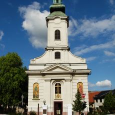
Saints Peter and Paul Church
12.6 km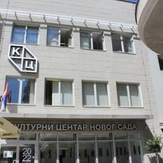
Cultural Center of Novi Sad
12.8 km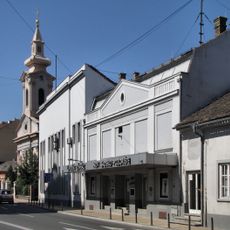
Novi Sad Theatre
12.6 km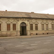
Family house of Mileva Marić-Einstein
12.2 km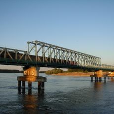
Boško Perošević Bridge
12.7 km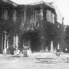
Château Kaštel à Temerin
10.2 km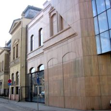
Matica Srpska Library
12.5 km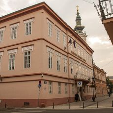
Platoneum
12.7 km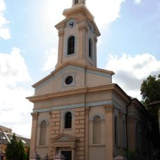
Evangelička crkva
12.7 km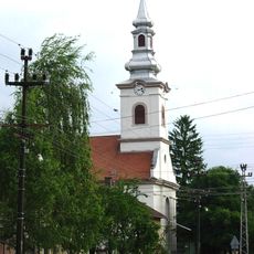
Temple calviniste de Rumenka
7.7 km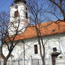
St. Paul and St. Peter Church at Rumenka
9.3 km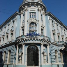
Bâtiment du Bureau central de crédit
12.8 km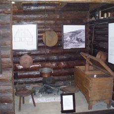
Ethno-park "Brvnara" Backi Jarak
5.6 km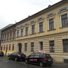
Кућа на Трифковићевом тргу бр. 2 у Новом Саду
12.8 km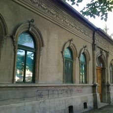
Maison située 37 rue Kraljevića Marka à Novi Sad
12 km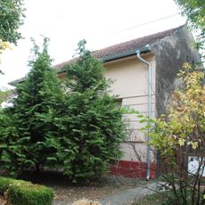
Quartier général des Partisans à Novi Sad
11.3 km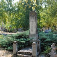
Tombe de Jovan Hranilović
12.1 km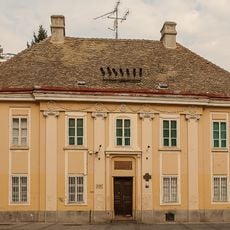
Bureau de la paroisse catholique de Novi Sad
12.9 km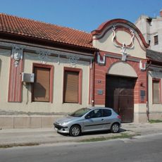
Maison située 10 rue Dositejeva à Novi Sad
12 km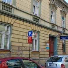
Bâtiment de l'école grecque à Novi Sad
12.8 km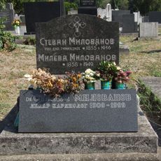
Tombe de Stevan Milovanov
11.3 km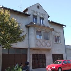
Maison située 69 rue Karađorđeva à Novi Sad
11.3 km
Building in Temerinska 1 in Novi Sad
10.4 kmReviews
Visited this place? Tap the stars to rate it and share your experience / photos with the community! Try now! You can cancel it anytime.
Discover hidden gems everywhere you go!
From secret cafés to breathtaking viewpoints, skip the crowded tourist spots and find places that match your style. Our app makes it easy with voice search, smart filtering, route optimization, and insider tips from travelers worldwide. Download now for the complete mobile experience.

A unique approach to discovering new places❞
— Le Figaro
All the places worth exploring❞
— France Info
A tailor-made excursion in just a few clicks❞
— 20 Minutes