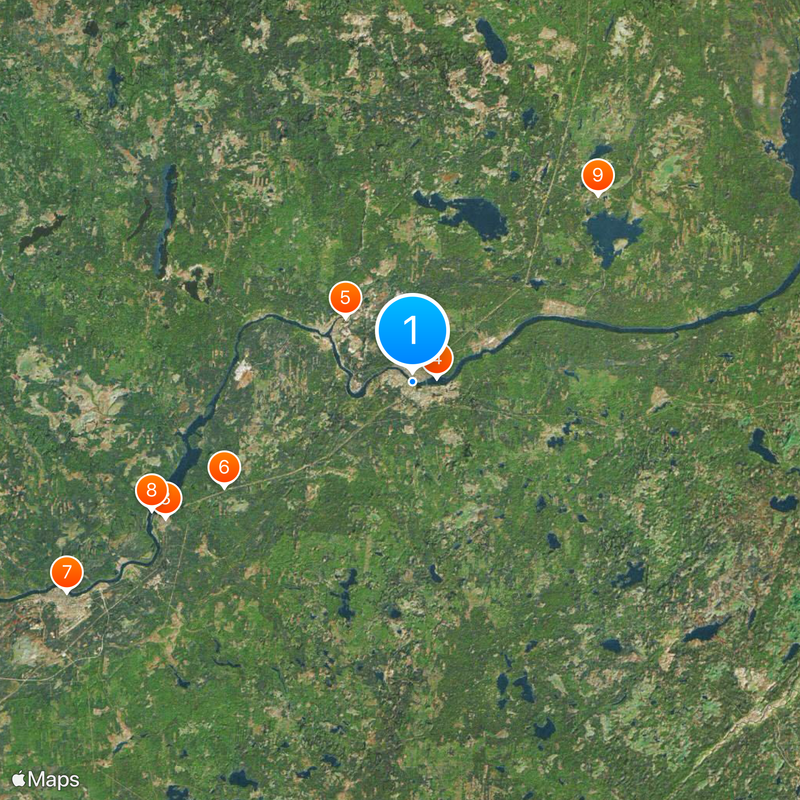
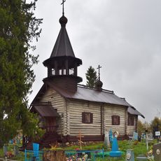
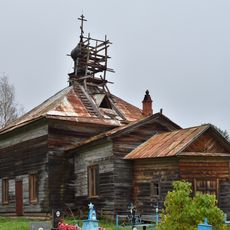
Podporožje, Administrative center in Leningrad Oblast, Russia
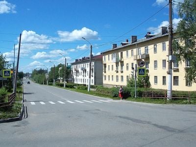
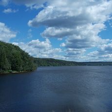
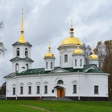
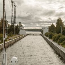
Podporozhye is an administrative center in Leningrad Oblast in northwestern Russia, situated along a river and surrounded by forests. The town provides basic services and facilities for residents and visitors in this rural region.
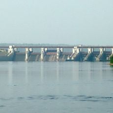
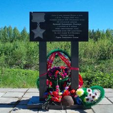
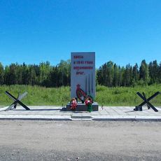
The town was established in 1936 and developed as an industrial hub for timber processing in the region. This industrial foundation shaped its growth and economic development for several decades.
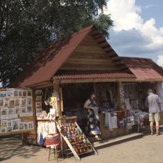
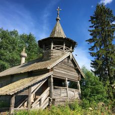
The town maintains regular local gatherings where residents participate in traditional Russian folk music performances and regional dance celebrations.
The town has regular bus connections to nearby Saint Petersburg and serves as a good base for exploring the forested oblast region. Visitors will find restaurants, shops, and basic services for a comfortable stay.
The area is known for its expansive forests, which have provided the economic foundation since the town's founding. Visitors can clearly see the connection between the forest landscape and daily life here.
The community of curious travelers
AroundUs brings together thousands of curated places, local tips, and hidden gems, enriched daily by 60,000 contributors worldwide.