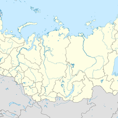
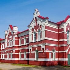
Kirov, Town in Kaluga Oblast, Russia
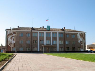
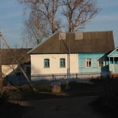
Kirov is a town in Kaluga Oblast that serves as an administrative center for the surrounding district. The settlement sits on relatively elevated terrain and functions as a hub connecting the communities in the region.
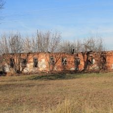
The town was founded in 1744 and gradually became established as an administrative center within the region. It maintained its role as a local governance hub throughout subsequent centuries.
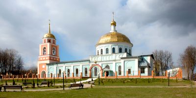
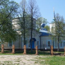
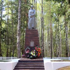
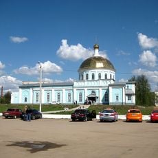
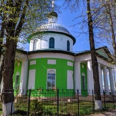
The local traditions of Kirow reflect the regional heritage through regular community gatherings and celebrations that maintain connections with historical Russian customs.
The town is straightforward to navigate, with main areas organized around a central location. Most services and facilities are within walking distance of one another.
The demographic evolution of Kirow presents a pattern of steady population changes, with recent census data indicating approximately 468,000 inhabitants.
The community of curious travelers
AroundUs brings together thousands of curated places, local tips, and hidden gems, enriched daily by 60,000 contributors worldwide.