Enable Location

We need your location to show you interesting places around you

Discover nearby places

Find interesting locations and hidden gems around you

Precise directions

Get accurate directions and distances to places

Your location is never shared with other users. It's only used when you tap the location button.

Stavropolsky District

Log in to your account

Start exploring — it's free

Trusted by 62,408 travelers worldwide

Continue with Google
Continue with Apple
or

We will send you a code to connect

By continuing, you accept our Terms and Conditions and our Privacy Policy

Check your inbox

We've sent a pincode in your inbox. Please enter the code below.

Stavropolsky District

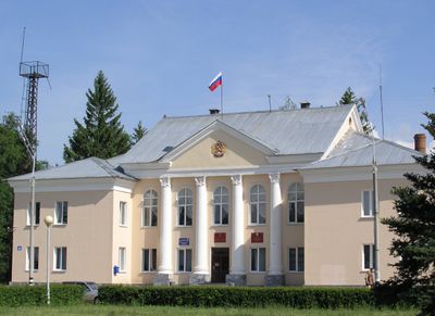
Stavropolsky District, Municipal district in Samara Oblast, Russia

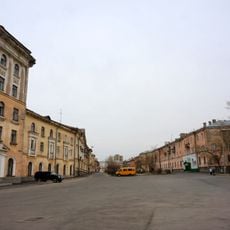
Stavropolsky District is a municipal area in Samara Oblast featuring numerous rural villages and farmland. The territory spans across vast spaces with scattered settlements and agricultural communities spread throughout the region.

The district was established as an administrative division in 1928 and underwent several changes in its administrative structure over the following decades. These changes shaped its role as part of the regional governance system to the present day.

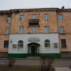
The district maintains 24 rural settlements, including Upper Sancheleevo and Lower Sancheleevo, where inhabitants carry forward traditional agricultural practices and local customs.

The region is sparsely populated with a predominantly rural character and offers limited infrastructure compared to larger cities. Visitors should expect simple conditions and longer travel times between scattered villages.

The district contains multiple rural localities such as Alexandrovka, Bahilovo, and Bolshaya Ryazan, each contributing to the agricultural development of Samara Oblast.

The community of curious travelers

AroundUs brings together thousands of curated places, local tips, and hidden gems, enriched daily by 60,000 contributors worldwide.

Start exploring
Location
Inception
July 16, 1928
Capital city
Tolyatti
Shares border with
Tolyatti, Krasnoyarsky District, Samara Oblast, Volzhsky District, Samara Oblast, Bezenchuksky District, Syzransky District, Shigonsky District, Melekessky District
GPS coordinates
53.48330,49.51670
Latest update
December 7, 2025 20:45
Around this place
524-й учебно-резервный полк (Россия)
Russian Federation

524-й учебно-резервный полк (Россия)

1.2 km
Ensemble of building of Shluzovoy
Russian Federation

Ensemble of building of Shluzovoy

2.4 km
Nikonova street 10
Russian Federation

Nikonova street 10

2.3 km
Lizy Chaykinoy Street, 65
Russian Federation

Lizy Chaykinoy Street, 65

3 km
Nikonova street 4
Russian Federation

Nikonova street 4

2.2 km
Nikonova street 7
Russian Federation

Nikonova street 7

2.2 km
Matrosova street 5
Russian Federation

Matrosova street 5

3 km
Nosova street 1
Russian Federation

Nosova street 1

2.2 km
Nosova street 11
Russian Federation

Nosova street 11

2.4 km
Памятный знак-указатель улицы Л. Чайкиной
Russian Federation

Памятный знак-указатель улицы Л. Чайкиной

2.1 km
Nikonova street 12
Russian Federation

Nikonova street 12

2.3 km
Nikonova street 6
Russian Federation

Nikonova street 6

2.2 km
Nikonova street 14-16
Russian Federation

Nikonova street 14-16

2.4 km
Nosova street 3
Russian Federation

Nosova street 3

2.2 km
Nosova street 5
Russian Federation

Nosova street 5

2.3 km
Мемориал Никонова Е. А., Героя Советского Союза
Russian Federation

Мемориал Никонова Е. А., Героя Советского Союза

2.4 km
Nosova street 13
Russian Federation

Nosova street 13

2.5 km
Nikonova street 8
Russian Federation

Nikonova street 8

2.3 km
Matrosova street 7
Russian Federation

Matrosova street 7

3 km
Matrosova street 1
Russian Federation

Matrosova street 1

3.1 km
Sevastopolskaya street 1, Tolyatti
Russian Federation

Sevastopolskaya street 1, Tolyatti

2.1 km
Nosova street 10
Russian Federation

Nosova street 10

2.5 km
Nikonova street 9
Russian Federation

Nikonova street 9

2.3 km
Matrosova street 3
Russian Federation

Matrosova street 3

3 km
Matrosova street 9
Russian Federation

Matrosova street 9

3 km
Здание первого железнодорожного вокзала
Russian Federation

Здание первого железнодорожного вокзала

996 m
Мемориальная доска Вадиму Леванову
Russian Federation

Мемориальная доска Вадиму Леванову

3 km
Mayak square
Russian Federation

Mayak square

2.8 km
Show the full map
« Stavropolsky District - Municipal district in Samara Oblast, Russia » is provided by Around Us (aroundus.com). Images and texts are derived from Wikimedia project under a Creative Commons license. You are allowed to copy, distribute, and modify copies of this page, under the conditions set by the license, as long as this note is clearly visible.

Discover hidden gems everywhere you go!

From secret cafés to breathtaking viewpoints, skip the crowded tourist spots and find places that match your style. Our app makes it easy with voice search, smart filtering, route optimization, and insider tips from travelers worldwide. Download now for the complete mobile experience.

Around Us App Screenshot

A unique approach to discovering new places

Le Figaro

All the places worth exploring

France Info

A tailor-made excursion in just a few clicks

20 Minutes

Around Us
Travel Guide & Maps
Download

Send to your phone

QR Code
1

Open the camera app on your mobile.

2

Point at the QR code with your camera. A notification will appear.

3

Tap the notification to open the link.