Kem, Port city on White Sea in Karelia, Russia
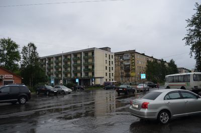
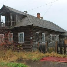
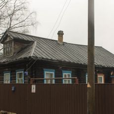
Kem is a coastal town in the Republic of Karelia, where the river of the same name flows into the White Sea. Trains connect it with Petrozavodsk to the south and Murmansk to the north, while ferries run to the Solovetsky Islands during summer months.
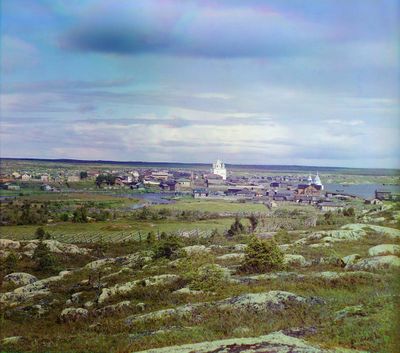
Marfa Boretskaya, a powerful ruler from Novgorod, transferred the settlement to the Solovetsky Monastery in 1450. By 1657, monks and local settlers had built a wooden fort to protect against Swedish raids.
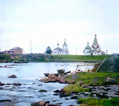
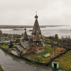
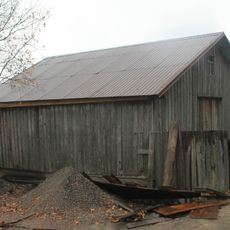
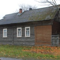
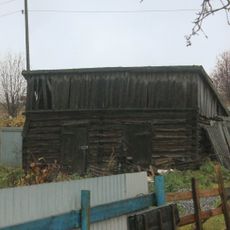
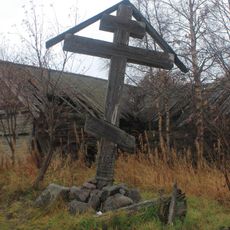
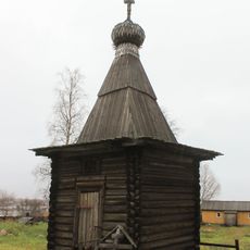
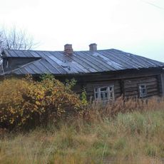
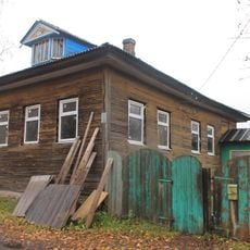
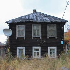
The Russian Orthodox wooden church from the early 18th century shows the building methods carpenters developed in the far north to deal with cold and snow loads. Its dark walls and tower-like structures rise above the low houses in town and can be spotted from a distance.
The railway station offers connections heading south and north, while ferries to the islands run only when the sea is open, usually from June to September. The town is small enough to explore on foot, and the streets lead from the station down to the pier at the river mouth.
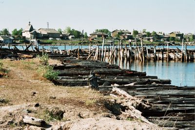
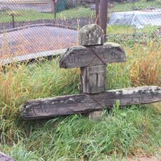
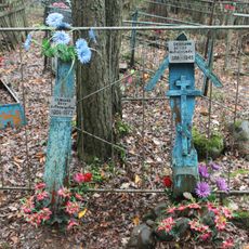
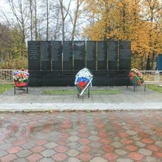
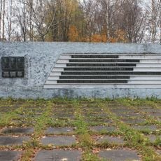
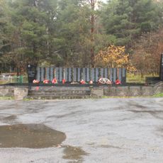
From 1926 to 1939, ships left from here carrying political prisoners to camps on the Solovetsky Islands. Today, only a few plaques and old photographs recall this dark chapter in the town's past.
Location: Karelia
Inception: 14 century
Elevation above the sea: 10 m
Website: http://kem.onego.ru
GPS coordinates: 64.95000,34.60000
Latest update: December 13, 2025 18:56
Dormition Cathedral, Kem
895 m
Annunciation Church, Kem
844 m
Treasury Building, Kem
828 m
Двор-сеновал Степанова (Кемь)
1.2 km
Дом жилой Карпова В.С. (Кемь)
907 m
Братская могила, в которой захоронены подполковник И.И. Беленький и подполковник П.И. Горбачев, погибшие в годы Великой Отечественной войны (Кемь)
669 m
Памятное место, где в 1918 г. были расстреляны интервентами члены Кемского уездного Совета (Кемь)
820 m
Дом жилой Строгальщиковых (Кемь)
813 m
Двор-сеновал с хлевом Федотовой (Кемь)
845 m
Дом жилой Нисваволь Е.В. (Кемь)
265 m
Придорожный крест (Кемь)
702 m
Двухкамерный хлев с сеновалом (Кемь)
1.4 km
Памятное место, где в апреле 1918 г. находился рубеж обороны города и были остановлены белофинские войска (Кемь)
3.7 km
Кладбище старое (Кемь)
406 m
Памятный знак железнодорожникам Кемского отделения Кировской железной дороги, погибшим на трудовом посту (Кемь)
1.4 km
Поклонный крест (Кемь)
1.5 km
Maly Lepostrov
1.1 km
Памятник Минину В.А. (1900−1918), организатору комсомола Кемского уезда (Кемь)
689 m
Дом жилой Куликовской (Кемь)
1.2 km
Часовня Троицы Пресвятой (Успенского собора)(деревянная) (Кемь)
875 m
Дом жилой Дружининой (Кемь)
1.5 km
Дом жилой Павлова С.И. (Кемь)
666 m
Дом жилой Даниловой (Кемь)
496 m
Братская могила членов Кемского уездного совета, расстрелянных интервентами (Кемь)
633 m
Дом жилой Шагаевой (Кемь)
1.1 km
Братская могила советских воинов, погибших в боях с фашистскими захватчиками (Кемь)
317 m
Rombaksky lighthouse
22 km
Каменные сложения (сейды) (Рабочеостровское с.п.)
25.9 kmVisited this place? Tap the stars to rate it and share your experience / photos with the community! Try now! You can cancel it anytime.
Discover hidden gems everywhere you go!
From secret cafés to breathtaking viewpoints, skip the crowded tourist spots and find places that match your style. Our app makes it easy with voice search, smart filtering, route optimization, and insider tips from travelers worldwide. Download now for the complete mobile experience.
A unique approach to discovering new places❞
— Le Figaro
All the places worth exploring❞
— France Info
A tailor-made excursion in just a few clicks❞
— 20 Minutes