
Shchyokino , Tula Oblast
Shchyokino , Tula Oblast, Industrial town in Tula Oblast, Russia
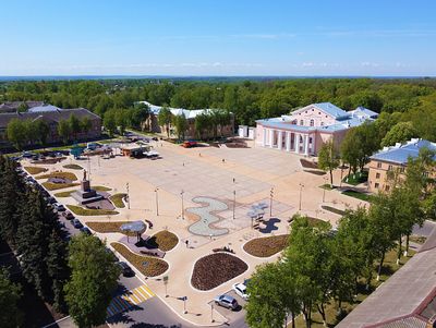
Shchyokino is an industrial town in Tula Oblast located south of Tula along the Moscow-Simferopol highway, dominated by chemical and mining facilities. It serves as the administrative center of Shchyokinsky District and contains several major production complexes.
The settlement began in 1870 due to brown coal mining operations in the Moscow coalfield, and became an official town in 1938. Later, pipelines from Stavropol were built to supply natural gas for the chemical industry.
The town's character is shaped by its industrial past, with factories forming the core of daily life and many residents working in chemical production. This manufacturing focus has defined how people here spend their time and relate to their community.
The town is easily accessible by car or public transport as it sits along the main highway between Tula and southern regions. When exploring, keep in mind it is an active industrial site where factories shape the town's appearance and daily rhythms.
The town started as a mining settlement but the arrival of gas pipelines transformed it into a chemicals hub, showing a rare shift from raw material extraction to processing. This transformation makes it an example of how infrastructure can redefine an entire town.
Location: Муниципальное образование город Щёкино
Inception: 1870
Elevation above the sea: 240 m
GPS coordinates: 54.00000,37.51667
Latest update: December 7, 2025 09:23

Yasnaya Polyana
8.3 km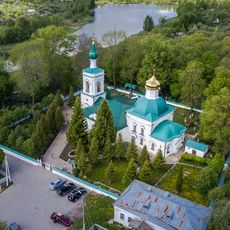
Church of Saint Nicholas
5.5 km
Yasnaya Polyana
11.3 km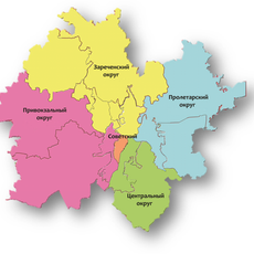
Privokzal'nyy Rayon
15.2 km
Храм Смоленской иконы Божией Матери (Тула)
18.4 km
Church of the Entry of the Theotokos into the Temple
6.5 km
Н2О
1.9 km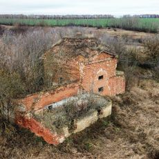
Церковь Покрова Пресвятой Богородицы. (Лапотково)
18.6 km
Омшаник с пасекой (Ясная Поляна)
8.5 km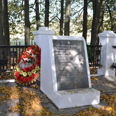
Братская могила советских воинов, погибших в годы Великой Отечественной войны (Кишкино)
12.7 km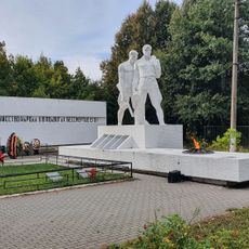
Братская могила советских воинов, погибших в годы Великой Отечественной войны (Липки)
13.7 km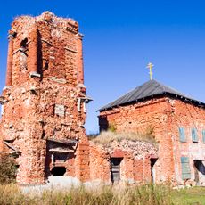
Church of Saint George (Lomintsevo)
10.4 km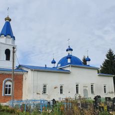
Церковь иконы Казанской Божией Матери (Миленино)
16.8 km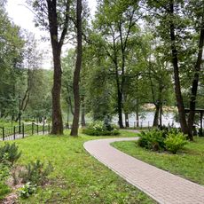
Парк (Тула)
17.3 km
Церковь Иоанна Крестителя (Крутое)
16.5 km
Church of the Protection of the Theotokos, Potyomkino
9.2 km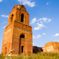
Церковь Георгия Победоносца (Пришня)
15.7 km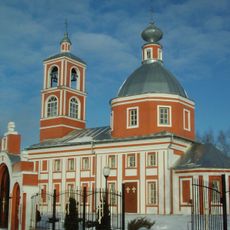
Paraskevi of Iconium church in Bolshaya Trosna
3.2 km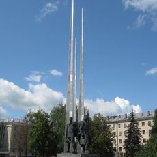
Monuments to defenders of Tula
18.9 km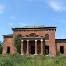
Церковь Воскресенская (Головеньки)
8.9 km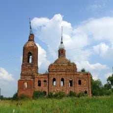
Спасская церковь (Пруды)
18.8 km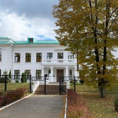
Школа имени Л.Н. Толстого (Ясная Поляна)
8.3 km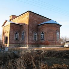
Воскресенская церковь (Долгое)
16.9 km
Дворец культуры «Горняк» (Щёкино)
169 m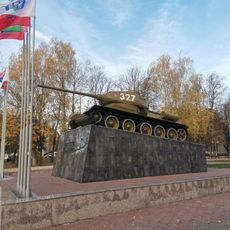
Танк «Т-34», установленный на месте, где проходил передний край обороны Тулы и были остановлены и разгромлены гитлеровские войска (Тула)
18.1 km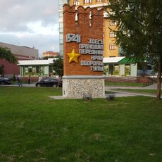
Место, где в октябре-декабре 1941 г. проходил передний край обороны г. Тула, где были остановлены и разгромлены гитлеровские полчища (Тула)
18.6 km
Конный манеж (Тула)
17.3 km
Станция, с которой 28 октября 1910 г. Л.Н. Толстой навсегда уехал из Ясной Поляны (Щёкино)
1.5 kmVisited this place? Tap the stars to rate it and share your experience / photos with the community! Try now! You can cancel it anytime.
Discover hidden gems everywhere you go!
From secret cafés to breathtaking viewpoints, skip the crowded tourist spots and find places that match your style. Our app makes it easy with voice search, smart filtering, route optimization, and insider tips from travelers worldwide. Download now for the complete mobile experience.

A unique approach to discovering new places❞
— Le Figaro
All the places worth exploring❞
— France Info
A tailor-made excursion in just a few clicks❞
— 20 Minutes