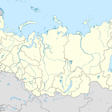
Kabansky District, Administrative district in Buryatia, Russia
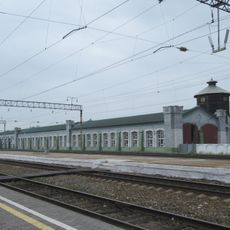
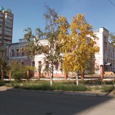
Kabansky District is a municipal area in Buryatia that encompasses forests, lakes, and open grasslands across its territory. The town of Kabansk serves as the main administrative center and connects various smaller towns and rural settlements throughout the region.
The district was established as an administrative entity in 1927 within the Buryat Autonomous Soviet Socialist Republic. Its structure evolved significantly following the collapse of the Soviet Union in the 1990s, reshaping its governance and territorial organization.
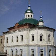
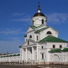
The district incorporates one town, two urban settlements, and fifty-nine rural localities, representing a mix of Russian and Buryat communities.
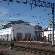
The district is best explored by private transport or local buses, as settlements are spread across the area. Visitors should prepare for varying road conditions, especially beyond Kabansk, where rural roads may be less maintained.
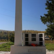
The population of the district has declined noticeably since the end of Soviet times, as many people moved to larger cities seeking better opportunities. This shift has reshaped the character of communities and how the region develops today.
Location: Buryatia
Inception: September 26, 1927
Capital city: Kabansk
Website: https://kabansk.org
GPS coordinates: 52.04139,106.65306
Latest update: December 7, 2025 20:45
Ivolginsky Datsan
49.1 km
Дацан Ринпоче Багша
67.5 km
Posolsky Monastery
32.6 km
Selenginsky Monastery
37 km
Янгажинський дацан
61.2 km
Fofanovski akropol
6 km
Спасо-Преображенский собор Посольского монастыря на Байкале
32.6 km
Annunciation Church, Kudara
20.9 km
Богородско-Казанская церковь (Творогово)
18.3 km
Lesovozny
41.3 km
Церковь святителя Николая (Троицкое)
36.9 km
Komsmolskaya 25, Babushkin
65 km
Eidelman House
1.2 km
Восточная башня (Троицкое)
37 km
Церковь святителя Николая (Посольское)
32.6 km
Здание паровозного депо, рабочие которого создали одну из первых социал-демократических групп в Забайкалье (Бабушкин)
65.1 km
Водонапорная башня (Улан-Удэ)
67.4 km
Сигнальный маяк на Кругобайкальской железной дороге (Бабушкин)
65.2 km
Церковь Богоявления (Ильинка)
44.4 km
Братская могила 5 руководителей революционных выступлений трудящихся Верхнеудинска в 1905-1906 гг. (Улан-Удэ)
66.7 km
Памятник рабочим и служащим локомотивного депо, погибшим в годы Великой Отечественной войны (Улан-Удэ)
67.2 km
Здание старого паровозного депо, которое в годы трех русских революций являлось местом активных революционных выступлений трудящихся и населения Верхнеудинска
67.3 km
Надвратная церковь Архангела Михаила (Троицкое)
36.9 km
Здание городской больницы (Улан-Удэ)
67.5 km
Памятник воинам-землякам, погибшим в годы Великой Отечественной войны (Троицкое)
36.9 km
Здание, где в годы Великой Отечественной войны размещался лечебный корпус эвакогоспиталя № 1943 и находился межобластной туберкулезный госпиталь инвалидов Великой Отечественной войны
65.3 km
Holy Trinity Church (Troitskoye, Pribaykalsky District)
36.9 km
Захоронение посольской миссии (Посольское)
32.7 kmVisited this place? Tap the stars to rate it and share your experience / photos with the community! Try now! You can cancel it anytime.
Discover hidden gems everywhere you go!
From secret cafés to breathtaking viewpoints, skip the crowded tourist spots and find places that match your style. Our app makes it easy with voice search, smart filtering, route optimization, and insider tips from travelers worldwide. Download now for the complete mobile experience.
A unique approach to discovering new places❞
— Le Figaro
All the places worth exploring❞
— France Info
A tailor-made excursion in just a few clicks❞
— 20 Minutes