
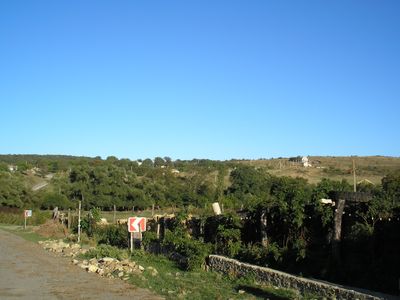
Klinivka, human settlement in Simferopol Raion, Republic of Crimea, Russia
Location: Perouve rural council
Elevation above the sea: 408 m
GPS coordinates: 44.86444,34.15056
Latest update: May 5, 2025 12:29
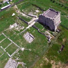
Scythian Neapolis
9 km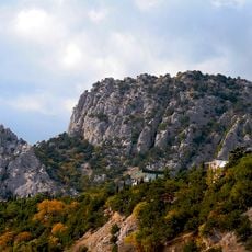
Mount Kosh-Kaya
6.4 km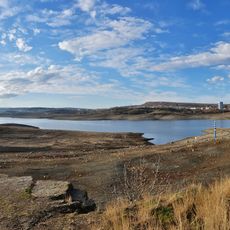
Simferopol Reservoir
8.2 km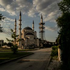
Aqmescit Friday mosque
7.2 km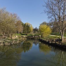
Botanical garden, Simferopol
8.9 km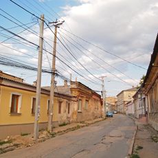
Old Simferopol
9.9 km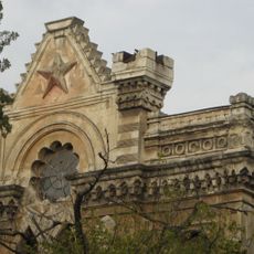
Karaite synagogue
9.7 km
Third ridge of Crimean Mountains
5.6 km
Kessler
4.7 km
Church of All Saints in Simferopol
9.8 km
Partizansk Reservoir
8.8 km
Kessler's house
3.8 km
TNU Zoological Museum
8.1 km
Crimean Tatar Museum of cultural and historical heritage
9.7 km
Eski-Saray Mosque
5.2 km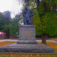
Trenyov park, Simferopol
10 km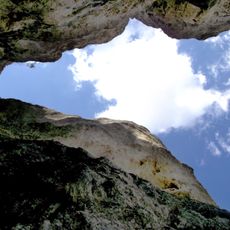
Snake Cave
7.2 km
Seyit-Khalil Mosque
9.2 km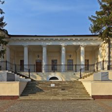
Vorontsov House, Simferopol
8.8 km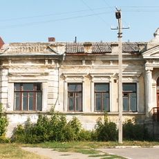
Studencheskaya St., 2
9.8 km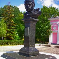
Bust of Taras Shevchenko in Simferopol
9.2 km
Регіональний ландшафтний парк «Бітак»
9.4 km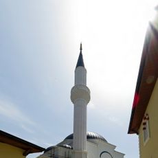
Seyit-Settar Mosque
9.2 km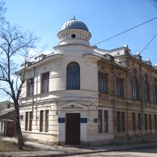
Studencheskaya St., 13 / Kurchatova St., 29
9.7 km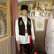
Krylova St., 54
9.3 km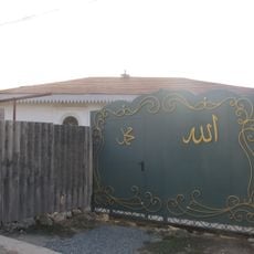
Seyit Nafe Mosque
8.9 km
Sergeyev-Tsensky St., 61
9.3 km
Crimean Tatar library named after Ismail Gasprinsky
9.9 kmReviews
Visited this place? Tap the stars to rate it and share your experience / photos with the community! Try now! You can cancel it anytime.
Discover hidden gems everywhere you go!
From secret cafés to breathtaking viewpoints, skip the crowded tourist spots and find places that match your style. Our app makes it easy with voice search, smart filtering, route optimization, and insider tips from travelers worldwide. Download now for the complete mobile experience.

A unique approach to discovering new places❞
— Le Figaro
All the places worth exploring❞
— France Info
A tailor-made excursion in just a few clicks❞
— 20 Minutes