
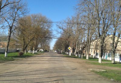
Zhuravlivka, human settlement in Simferopol Raion, Autonomous Republic of Crimea, Ukraine
Location: Comuna Juravlivka
Elevation above the sea: 115 m
GPS coordinates: 45.17583,33.99667
Latest update: March 23, 2025 22:16
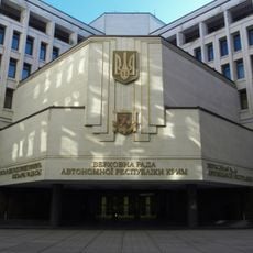
Supreme Council of Crimea
26.2 km
State Council of the Republic of Crimea
26.2 km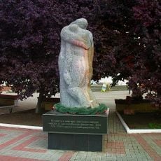
The Shot in the Back
26.2 km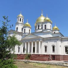
Alexander Nevsky Cathedral, Simferopol
26.1 km
Gagarin park, Simferopol
24.8 km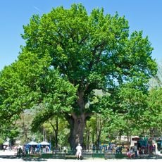
Simferopol Children's Park
26.1 km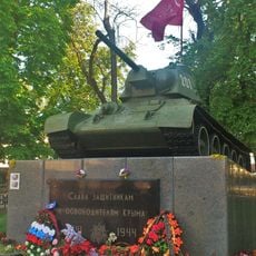
OT-34 in Simferopol
26.1 km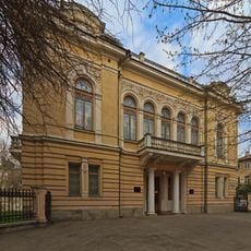
Simferopol Art Museum
25.4 km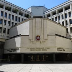
Building of the Supreme Council of Crimea
26.2 km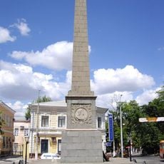
Dolgorukov obelisk
26 km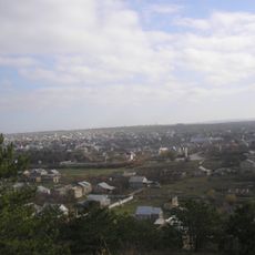
Bohurcha (Kamenka)
25.1 km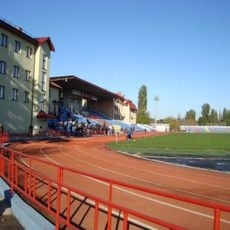
Fiolent Stadium
25.4 km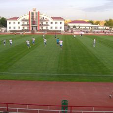
KT Sport Arena
18.8 km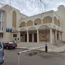
Crimean Tatar academic music and drama theater
25.9 km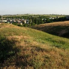
Kermen Qır
22.6 km
Tavryda Oak
26.1 km
Eski Abdal (Zagrodne)
23.9 km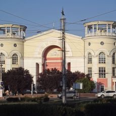
Kinoteatr Simferopol
26.2 km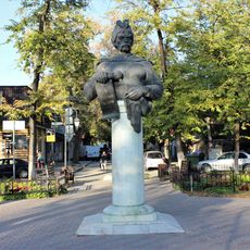
Statue of Khmelnytsky in Simferopol
25.7 km
Nevsky St., 27
25.4 km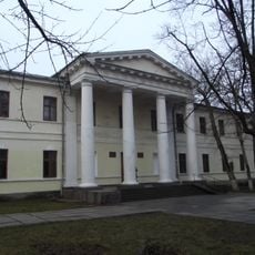
Karla Marksa St., 28/10 (Simferopol)
26 km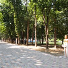
Alley of children-heroes, Simferopol
26.1 km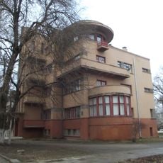
Residential building of the Crimean government in Simferopol
26.1 km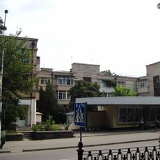
House in memory of 1905 in Simferopol
25.2 km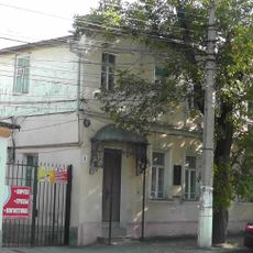
Tolstoy St., 4
25.7 km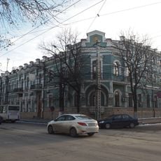
Nevsky St., 4 / Serova St., 2
26.1 km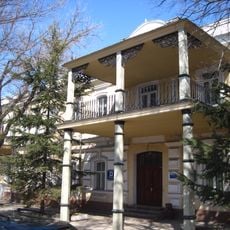
Dolgorukovskaya St., 5
26 km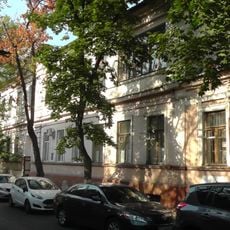
Kirova St., 72 / Generala Popova St., 1
25.9 kmReviews
Visited this place? Tap the stars to rate it and share your experience / photos with the community! Try now! You can cancel it anytime.
Discover hidden gems everywhere you go!
From secret cafés to breathtaking viewpoints, skip the crowded tourist spots and find places that match your style. Our app makes it easy with voice search, smart filtering, route optimization, and insider tips from travelers worldwide. Download now for the complete mobile experience.

A unique approach to discovering new places❞
— Le Figaro
All the places worth exploring❞
— France Info
A tailor-made excursion in just a few clicks❞
— 20 Minutes