Buzuluksky Bor National Park
45.8 km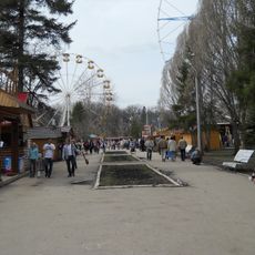
Yuri Gagarin park
151.4 km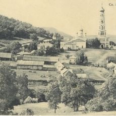
Savior Transfiguration monastery
22.1 km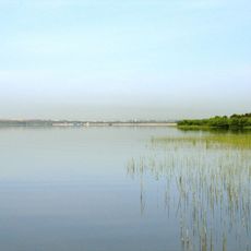
Sorochinskoe Reservoir
67.6 km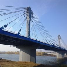
Kirov vehicle bridge
149.8 km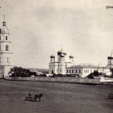
Tikhvin Virgin Monastery
19.1 km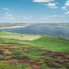
Kutulukskoye Vodokhranilishche
85.8 km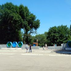
50th October park
154.9 km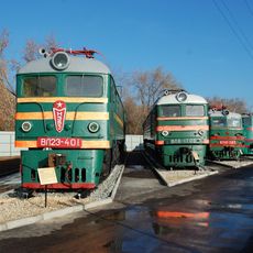
Samara railway museum
152.6 km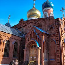
Holy Resurrection Monastery
156 km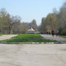
Molodezhnyi park
155.8 km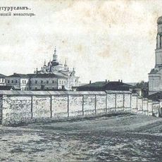
Бугурусланский Покровский монастырь
115.5 km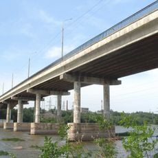
Южный мост (Самара)
156.1 km
Oral Qalasy
156.3 km
Desert roses of Chubovka
148.8 km
Kirsanov State Nature Sanctuary
133 km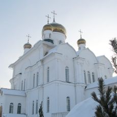
Храм Святой Троицы города Бугуруслана
111.7 km
12 km
140 km
Тирис (разъезд)
136 kmKrasnogwardiejec
7.2 kmЧувикс
113.1 km1192 км
83 km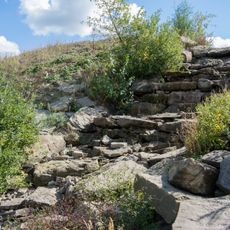
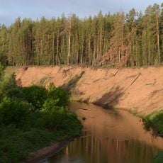
Waterfall in Syreyka
143.8 km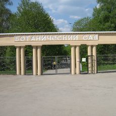
Samara state university botanic garden
151.4 km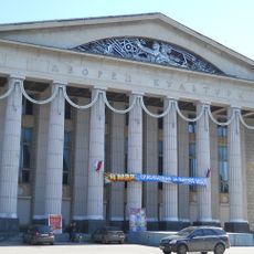
Litvinov Palace of Culture
154.2 km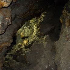
Golden cave
143.9 km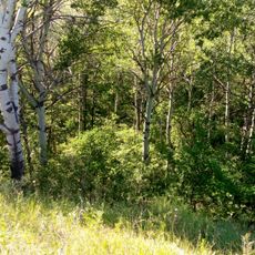
Dubrava sanctuary
142.3 km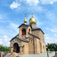
Храм в честь Покрова Божией Матери
114.9 kmVisited this place? Tap the stars to rate it and share your experience / photos with the community! Try now! You can cancel it anytime.
Discover hidden gems everywhere you go!
From secret cafés to breathtaking viewpoints, skip the crowded tourist spots and find places that match your style. Our app makes it easy with voice search, smart filtering, route optimization, and insider tips from travelers worldwide. Download now for the complete mobile experience.

A unique approach to discovering new places❞
— Le Figaro
All the places worth exploring❞
— France Info
A tailor-made excursion in just a few clicks❞
— 20 Minutes