
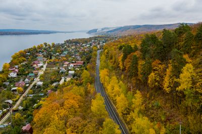
Solnechnaya Polyana, human settlement in Zhigulyovsk Urban Okrug, Samara Oblast, Russia
Location: Zhigulyovsk Urban Okrug
GPS coordinates: 53.43924,49.90579
Latest update: March 10, 2025 11:48
Samarskaya Luka National Park
15.5 km
Zhiguli Nature Reserve
6.2 km
Kamennaya Chasha
3.8 km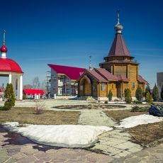
Zavolzhskiy Svyato-Il'inskiy monastery
19.2 km
Ensemble of building of Shluzovoy
24.9 km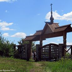
Zavolzhsky monastery in honor of the honest and Holy Cross
17.8 km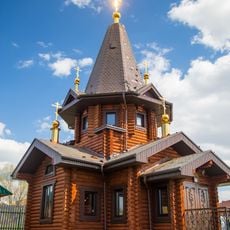
Alexandro-Nevsky monastery
17.2 km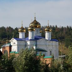
Annunciation Monastery
18.5 km
Nikonova street 10
24.9 km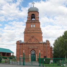
Churches of the Epiphany
10.4 km
Nosova street 11
24.9 km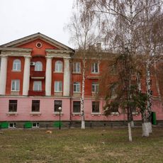
Nikonova street 14-16
24.8 km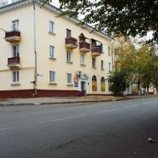
Nikonova street 12
24.8 km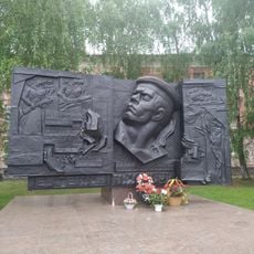
Мемориал Никонова Е. А., Героя Советского Союза
24.7 km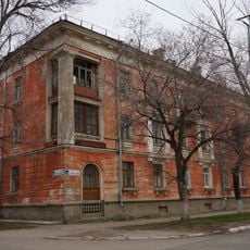
Nosova street 13
24.8 km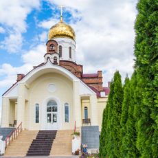
Church of Archangel Michael in Povolzhsky
19.4 km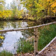
Witch Lake
18.3 km
Nosova street 10
24.8 km
Nikonova street 9
24.9 km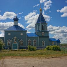
Храм во имя Архистратига Михаила
24.2 km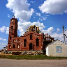
Spiridon Trimiphuntskiy church
21 km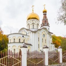
Church of Saint Nicholas
1.4 km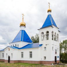
Church of St. Nicholas
16.5 km
Ilya Repin museum
8 km
Chapel of Alexander Nevsky
19.4 km
Домовый храм во имя святой великомученицы Варвары
18.4 km
Chapel in the name of St. Nicholas
22.8 km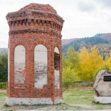
Memorial sign of the Vanyushin plant
7.4 kmReviews
Visited this place? Tap the stars to rate it and share your experience / photos with the community! Try now! You can cancel it anytime.
Discover hidden gems everywhere you go!
From secret cafés to breathtaking viewpoints, skip the crowded tourist spots and find places that match your style. Our app makes it easy with voice search, smart filtering, route optimization, and insider tips from travelers worldwide. Download now for the complete mobile experience.

A unique approach to discovering new places❞
— Le Figaro
All the places worth exploring❞
— France Info
A tailor-made excursion in just a few clicks❞
— 20 Minutes