
Устанский сельсовет, human settlement in Urensky District, Nizhny Novgorod Oblast, Russia
Location: Urensky District
Capital city: Уста
GPS coordinates: 57.43143,45.66006
Latest update: April 4, 2025 23:52

Lake Svetloyar
76.3 km
Kerzhinski Nature Reserve
128.2 km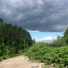
Bolshaya Kokshaga
128.8 km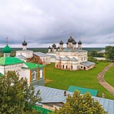
Makaryev-Unzhensky Monastery
120.7 km
Komarovski skete
107.3 km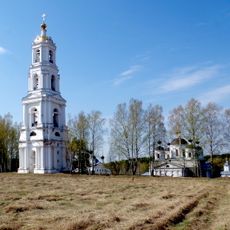
Vysokovsky Assumption Monastery
104.4 km
Levashovs estate in Galibikha
75.7 km
Керженский Благовещенский единоверческий скит
111 km
Սեմյոնովի պատմա-գեղարվեստական թանգարան
100.5 km
Кузнєцово (Шар'їнський район)
107.6 km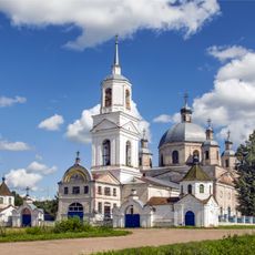
Троицкая церковь
69.6 km
Cathedral of the Ascension of Christ
100.6 km
Покровская церковь
77.6 km
Our Lady of Kazan church, Kugusherga
121.7 km
Church of Nativity of Theotokos
131.5 km
Saint Michael church, Urtma
110.7 km
Новый (Санчурскан кӀошт)
114.5 km
Крестовоздвиженская церковь
103.1 km
Church of the Protection of the Theotokos, Lom
121 km
Dormilion church
41.9 km
Рамешинский
15 km
Дюковское лесничество
123 km
Іванов (Нижньогородська область)
104.3 km
Алешино (починок)
45.3 km
Александровский
100.4 km
Александровский (Санчурск районы)
103.7 km
Церковь Иоанна Предтечи (Коротни)
130.9 km
Nijegorodskoe Zavolje
132.2 kmVisited this place? Tap the stars to rate it and share your experience / photos with the community! Try now! You can cancel it anytime.


Discover hidden gems everywhere you go!
From secret cafés to breathtaking viewpoints, skip the crowded tourist spots and find places that match your style. Our app makes it easy with voice search, smart filtering, route optimization, and insider tips from travelers worldwide. Download now for the complete mobile experience.

A unique approach to discovering new places❞
— Le Figaro
All the places worth exploring❞
— France Info
A tailor-made excursion in just a few clicks❞
— 20 Minutes