
下奇尔农村居民点, human settlement in Surovikinsky District, Volgograd Oblast, Russia
Location: Surovikinsky District
Inception: December 21, 2004
Capital city: Nizhny Chir
Website: http://nijniychir.ru
GPS coordinates: 48.36417,43.08889
Latest update: March 18, 2025 05:10
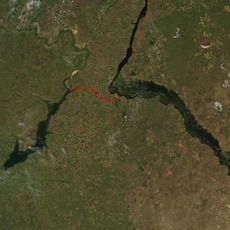
Volga–Don Canal
81.6 km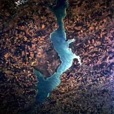
Tsimlyansk Reservoir
62.1 km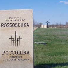
Deutscher Soldatenfriedhof Rossoschka
94.4 km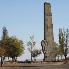
Lysaya Gora
101 km
Natural Park Donskoy
101.6 km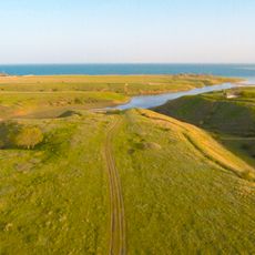
Цимлянск (заказник)
64.4 km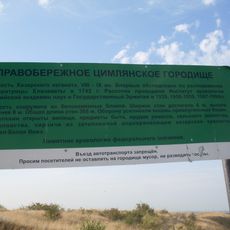
Правобережное Цимлянское городище
102.1 km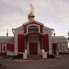
Church of St. Paraskeva Pyatnitsa in Volgograd
102.8 km
Karpovskoye Vodokhranilishche
54.2 km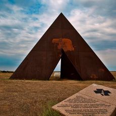
Spine
96.5 km
Konny
107.3 km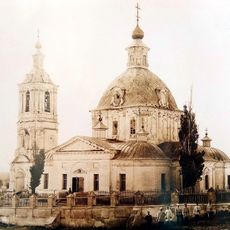
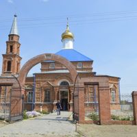
Trinity Church
107.7 km
Инга (разъезд)
93.8 km
Знаменская церковь (Клетская)
105.8 km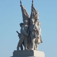
Connection of fronts monument
48.4 km
Богоявленская церковь (Кумшацкая)
107.8 km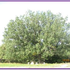
Дуб черешчатый (Ростовская область)
101.7 km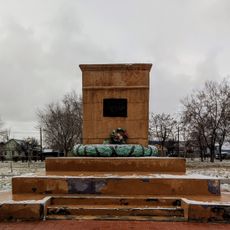
Radomsky square
107.9 km
"Акватория"
101.2 km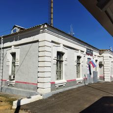
Железнодорожный вокзал станции Канальная (бывшая Тундутово)
96.1 km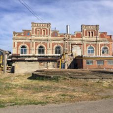
Maximov brothers plant - heating plant
107.3 km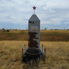
The grave of Nikolai Cheprakov
96.8 km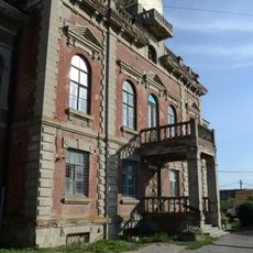
Maximov brothers plant - plant management
107.2 km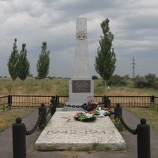
Mass grave on Lysaya Gora
101.7 km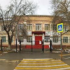
Elshanskaya Street, 130, Volgograd
107.8 km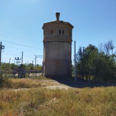
Водонапорная башня станции Канальная (бывшая Тундутово)
96.1 km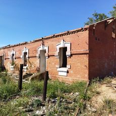
Residential buildings
96 km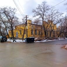
Elshanskaya, 132, Volgograd
107.7 kmVisited this place? Tap the stars to rate it and share your experience / photos with the community! Try now! You can cancel it anytime.


Discover hidden gems everywhere you go!
From secret cafés to breathtaking viewpoints, skip the crowded tourist spots and find places that match your style. Our app makes it easy with voice search, smart filtering, route optimization, and insider tips from travelers worldwide. Download now for the complete mobile experience.

A unique approach to discovering new places❞
— Le Figaro
All the places worth exploring❞
— France Info
A tailor-made excursion in just a few clicks❞
— 20 Minutes