Enable Location

We need your location to show you interesting places around you

Discover nearby places

Find interesting locations and hidden gems around you

Precise directions

Get accurate directions and distances to places

Your location is never shared with other users. It's only used when you tap the location button.

Färnebofjärden National Park

Log in to your account

Start exploring — it's free

Trusted by 62,030 travelers worldwide

Continue with Google
Continue with Apple
or

We will send you a code to connect

By continuing, you accept our Terms and Conditions and our Privacy Policy

Check your inbox

We've sent a pincode in your inbox. Please enter the code below.

Färnebofjärden National Park

Färnebofjärden National Park, National park along Lower Dalälven river, Sweden.

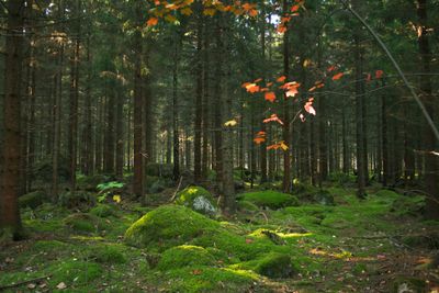
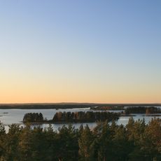
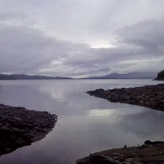
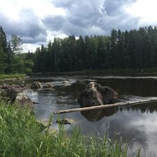
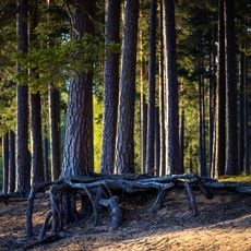
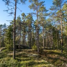
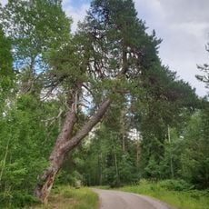
Färnebofjärden is a national park along the lower Dalälven river covering about 10,100 hectares of lakes, rapids, wetlands, and forests that form distinct habitats. The landscape creates a varied environment shaped by the river system.

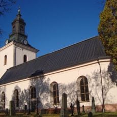
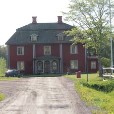
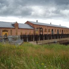
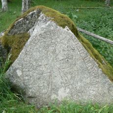
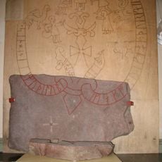
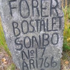
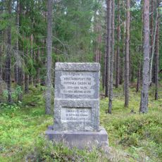
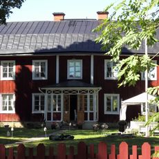
The Gysinge forge was founded in 1668 and used water power along with local iron ore to operate within what is now the park area. This historical site shaped the region until the early 1900s.

The park marks a biological border where northern and southern plant and animal species meet in their natural habitats. Visitors can experience this mix of life along the trails and from observation points.

The park can be accessed through entrances at Gysinge and Sevedskvarn, where you will find campgrounds, hiking trails, and observation towers. Spring through autumn offers the best conditions for walking and exploring the different environments.

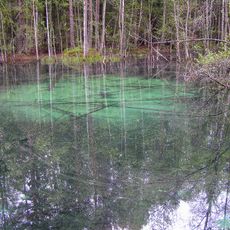
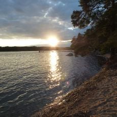
The park protects about 4,110 hectares of water environments including sand banks and river sections that attract over 100 nesting bird species. These water zones create a rare ecosystem that draws bird watchers and nature observers.

The community of curious travelers

AroundUs brings together thousands of curated places, local tips, and hidden gems, enriched daily by 60,000 contributors worldwide.

Start exploring
Inception
September 9, 1998
Part of
Limes norrlandicus
GPS coordinates
60.20121,16.78415
Latest update
December 11, 2025 11:02
« Färnebofjärden National Park - National park along Lower Dalälven river, Sweden » is provided by Around Us (aroundus.com). Images and texts are derived from Wikimedia project under a Creative Commons license. You are allowed to copy, distribute, and modify copies of this page, under the conditions set by the license, as long as this note is clearly visible.

Discover hidden gems everywhere you go!

From secret cafés to breathtaking viewpoints, skip the crowded tourist spots and find places that match your style. Our app makes it easy with voice search, smart filtering, route optimization, and insider tips from travelers worldwide. Download now for the complete mobile experience.

Around Us App Screenshot

A unique approach to discovering new places

Le Figaro

All the places worth exploring

France Info

A tailor-made excursion in just a few clicks

20 Minutes

Around Us
Travel Guide & Maps
Download

Send to your phone

QR Code
1

Open the camera app on your mobile.

2

Point at the QR code with your camera. A notification will appear.

3

Tap the notification to open the link.