Kiruna Municipality
Kiruna Municipality, Administrative division in northern Norrbotten County, Sweden.
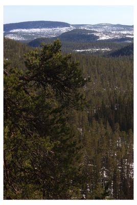
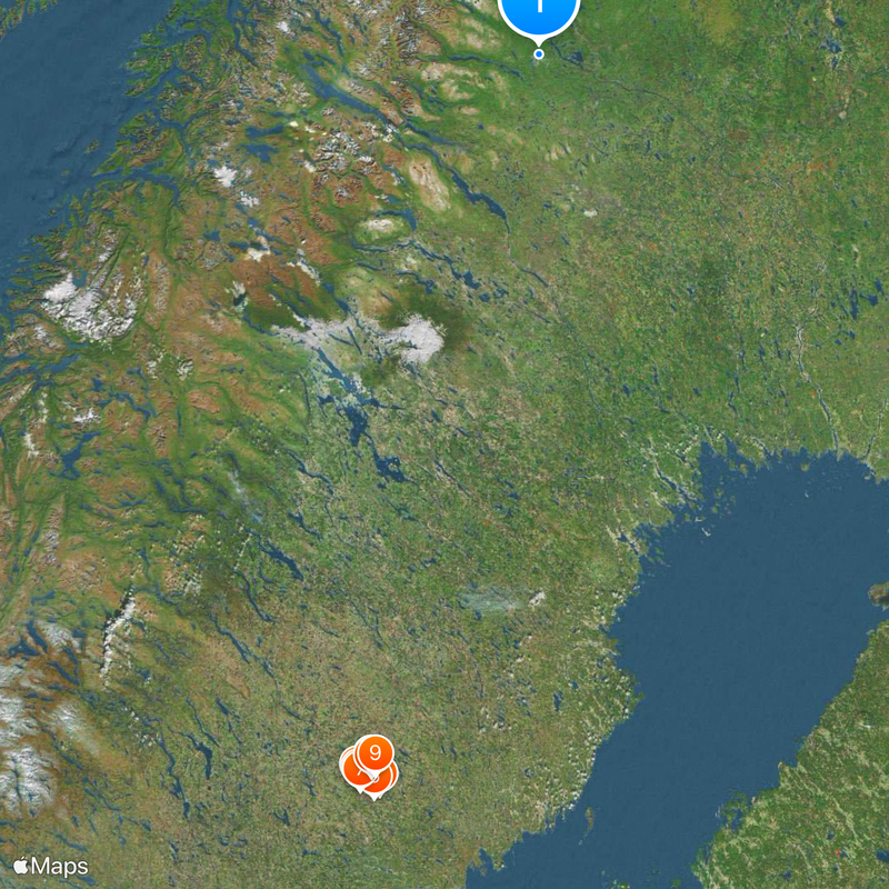
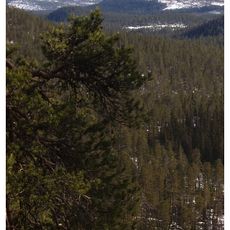
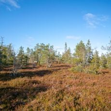
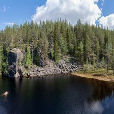
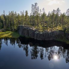
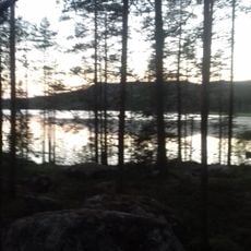
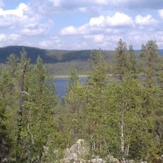
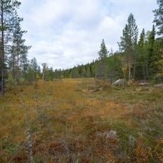
Kiruna Municipality is an administrative division in northern Norrbotten County, Sweden. The territory covers mountain terrain above the Arctic Circle, wide forests, and numerous lakes spread across a very large area.
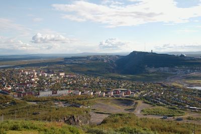
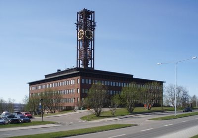
The division was established in 1908 when mining grew quickly and the railway connection was built. The link to Narvik enabled ore transport and encouraged settlement across the region.
The area lies partly within the traditional Sami homeland, where reindeer herding remains an active livelihood. Many place names derive from Sami and reflect this community's long connection to the land.
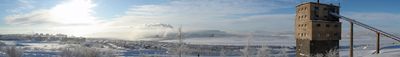
The settlements are connected by roads and rail lines, though distances between communities can be considerable. Winter brings polar night while summer offers midnight sun.
Kebnekaise, the tallest mountain in Sweden at 2,104 meters (6,903 feet), rises within the territory. Esrange, Europe's only civilian rocket base, also sits here and serves scientific research.
Location: Norrbotten County
Inception: January 1, 1971
Capital city: Kiruna
Reference: 2584
Part of: Lapland, Gällivare domkrets
Shares border with: Narvik Municipality, Bardu Municipality, Målselv, Storfjord Municipality, Pajala Municipality, Gällivare Municipality, Enontekiö
Phone: +4698070000
Email: kommun@kiruna.se
Website: https://kiruna.se
GPS coordinates: 67.85472,20.22278
Latest update: December 13, 2025 19:15
Björnlandet National Park
443.4 km
Stockholmsgata
452.2 km
Gammtratten
455 km
Stockholmsgatorna
453.7 km
Trolltjärn
457.4 kmRismyrberget
454.7 km
Björnlandet syd
444.4 km
Björnlandet öst
442.9 kmSvedjeberget
445.7 km
Mesjödalen
453.1 kmBlakliden
436.7 kmHäggsjöbäcken
446.8 kmDjuptjärnkullen
442.2 kmBäckmyrkullen
434.8 kmTallkullarna
437.6 kmVitbergstången
435.3 kmSvanamyran
435.4 kmVärniksberget
442.2 kmHäggsjö-Bergmyran
445.8 kmAnundsjö 671:1
457.6 kmSandsjön
453.3 kmShelter, Work of art
432.3 kmScenic viewpoint
452.9 kmScenic viewpoint
442.5 kmBjörnbergets utkiksplats
442.3 kmRönnlandsutsikten
444.1 kmAngsjöutsikten
443.8 kmScenic viewpoint
443.4 kmVisited this place? Tap the stars to rate it and share your experience / photos with the community! Try now! You can cancel it anytime.
Discover hidden gems everywhere you go!
From secret cafés to breathtaking viewpoints, skip the crowded tourist spots and find places that match your style. Our app makes it easy with voice search, smart filtering, route optimization, and insider tips from travelers worldwide. Download now for the complete mobile experience.
A unique approach to discovering new places❞
— Le Figaro
All the places worth exploring❞
— France Info
A tailor-made excursion in just a few clicks❞
— 20 Minutes