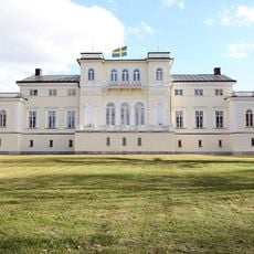
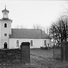
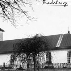
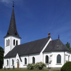
Töreboda Municipality, Municipality in Västra Götaland County, Sweden.
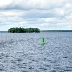
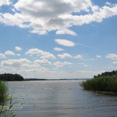
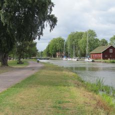
Töreboda Municipality is a municipality in western Sweden that spans across a broad territory interspersed with lakes and water bodies. The landscape combines rural settlements with significant water surfaces that form part of its natural composition.
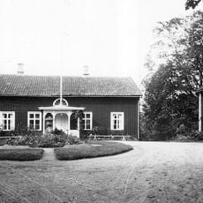
The municipality took its current form in 1971 when several communities merged, combining Töreboda market town with Moholm and sections from neighboring territories. This consolidation created the administrative area that exists today.
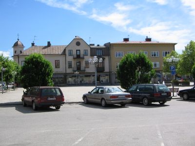
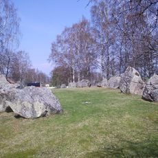
Töreboda functions as a dispersed community where daily life centers on three separate population hubs rather than a single focal point. The structure reflects a rural character where each center maintains its own rhythm and local significance.
The area is accessible by road and spread across several distinct communities, each offering basic services and facilities. Visitors should be prepared to travel between the separate centers, as they are not concentrated in one location.
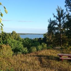
A substantial portion of the territory consists of water surfaces that create a landscape studded with islands and bays throughout the region. This extensive integration of water and land shapes how the area looks and functions in ways visitors might not initially expect.
Location: Västra Götaland County
Inception: January 1, 1971
Capital city: Töreboda
Part of: Västergötland, Skaraborg District Court
Shares border with: Karlsborg Municipality, Tibro Municipality, Skövde Municipality, Mariestad Municipality, Gullspång Municipality, Laxå Municipality
Phone: +4650618000
Email: kommunen@toreboda.se
Website: https://toreboda.se
GPS coordinates: 58.71667,14.13333
Latest update: December 10, 2025 20:06
Jönköping County
883 km
Börstorp Castle
13.5 km
Vaholms bro
16.3 km
Ryholm
15.9 km
Askeberga stone ship
18 km
Ymseborg
9.4 km
Ymsen
10.5 km
Beateberg Church
16.6 km
Surö bokskog
15.7 km
Västergötland Runic Inscription 8
14.1 km
Sveneby herrgård
17.5 km
Hajstorp
3.7 km
Enåsa Church
12.9 km
Kung Ranes hög
20.3 km
Töreboda Church
1.1 km
Vads kyrka
17 km
Edets benstamp och kvarn
13 km
Valla tingshus
9 km
Götlunda Church
19.9 km
Sjötorps kyrka
15.5 km
Mo Church
13.4 km
Värings kyrka
24.9 km
Hjälstad Church
14.1 km
Fredsberg Church
4.3 km
Västergötland Runic Inscription 6
7.3 km
Halna Church
9.1 km
Vg 7 Sörgården, Vallby
21.8 km
Fredsbergs prästgård
4.6 kmVisited this place? Tap the stars to rate it and share your experience / photos with the community! Try now! You can cancel it anytime.
Discover hidden gems everywhere you go!
From secret cafés to breathtaking viewpoints, skip the crowded tourist spots and find places that match your style. Our app makes it easy with voice search, smart filtering, route optimization, and insider tips from travelers worldwide. Download now for the complete mobile experience.
A unique approach to discovering new places❞
— Le Figaro
All the places worth exploring❞
— France Info
A tailor-made excursion in just a few clicks❞
— 20 Minutes