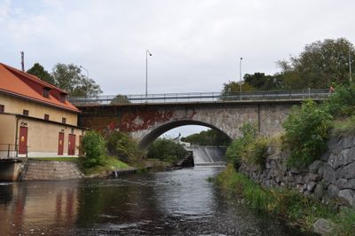
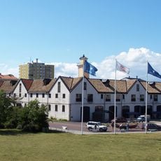
Lyckebyån, Small river in Karlskrona Municipality, Sweden.
Lyckebyån is a river in the Karlskrona region of southern Sweden that flows from the area near Kosta in Småland down to the Baltic Sea at Lyckeby. The waterway passes through different landscapes and provides habitat for many fish species including trout, salmon, and pike.
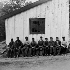
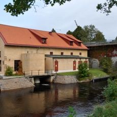
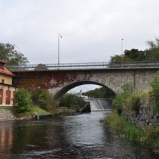
In the 1700s, a dam and waterwheel were built at the lower falls of the river to power Lyckeby Crown Mill. This watermill used the river's force to support the regional economy for generations.
The river matters to local fishermen who spend time catching various species in these waters. Fishing shapes daily life in the area and shows how closely people here are connected to the waterway.
Anyone who wants to fish here should get a permit beforehand, available at local shops in the area. Daily catch limits apply, so it helps to check the local rules before heading to the water.
The river drains a large basin and continuously flows into the Baltic Sea. This steady water supply makes it a reliable ecosystem for migratory fish that move between ocean and river.
The community of curious travelers
AroundUs brings together thousands of curated places, local tips, and hidden gems, enriched daily by 60,000 contributors worldwide.