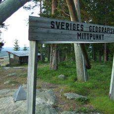
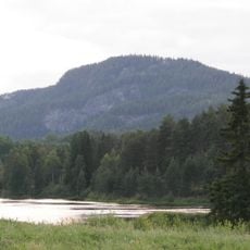
Flataklocken, Geographic center landmark in Torpshammar, Sweden
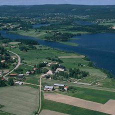
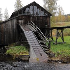
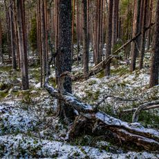
Flataklocken is a mountain in the Ljungandalen region that rises 465 meters (1,525 feet) above sea level and offers views of Lake Munkby and the surrounding countryside. The area combines forested slopes and open terrain, creating a landscape typical of southern Swedish highlands.
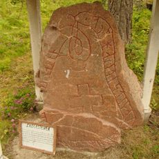
The mountain was identified as Sweden's geographical center in 1947 when researchers from KTH Royal Institute of Technology balanced a cardboard map on a needle to find the exact point. This determination came as scientific institutions worked to better understand the nation's precise geography after World War II.
The place represents Sweden's interest in precise geographical measurements and territorial understanding. Visitors can see how such reference points shape how people think about their nation's boundaries and center.
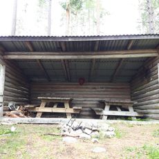
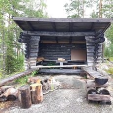
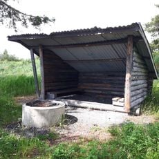
The summit has fire pits where visitors can gather and a seasonal café that operates during the warmer months. Hiking trails to the top are well marked and accessible to most people visiting the area.
If Sweden were balanced on a needle point, the entire country would tip and rest exactly here. This transforms the mountain into a thought-provoking spot where visitors can ponder their nation's shape and reach.
The community of curious travelers
AroundUs brings together thousands of curated places, local tips, and hidden gems, enriched daily by 60,000 contributors worldwide.