
Tidersrum socken, historisk sogn i Östergötland
Location: Kinda Municipality
Location: Kinda hundred
Part of: Östergötland
GPS coordinates: 57.92639,15.49444
Latest update: March 7, 2025 22:52

Sommen
19.4 km
Ydre Municipality
15.9 km
Norra Kvill National Park
18.8 km
Ålhult
19.7 km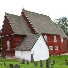
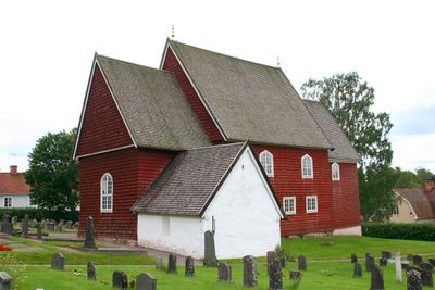
Tidersrum Church
21 m
Torpa Church
21.1 km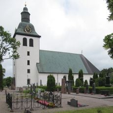
Kisa Church
10.6 km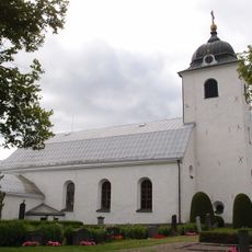
Västra Eneby Church
15.6 km
Malexander Church
17.4 km
Gumhems gravfält
21.4 km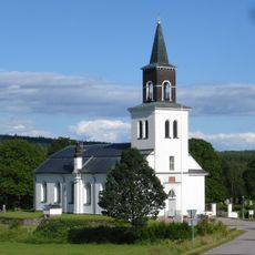
Sund Church
16.3 km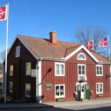
Café Columbia
10.7 km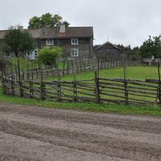
Smedstorps dubbelgård
5.1 km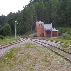
Lokstallet i Kisa
10.4 km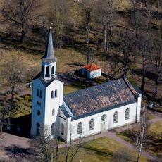
Svinhult Church
20.4 km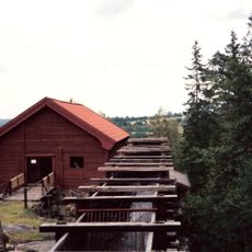
Råås kvarn
21.8 km
Kölefors vaddfabrik
15.7 km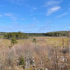
Rocks mosse
7.9 km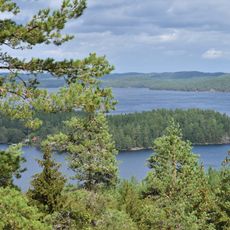
Torpön
18.6 km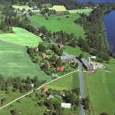
Sund
16.5 km
Sjövik
9.3 km
Domareken, Bjerkeryd
10 km
Kisa Emigrantmuseum
10.7 km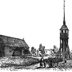
Stara cerkev v Svinhultu
20.5 km
Lokstallet i Kisa
10.4 km
Jätteudden
21.3 km
Sund 145:1
14.6 km
Malexanders kyrkas orgel av Åkerman & Lund
17.4 kmReviews
Visited this place? Tap the stars to rate it and share your experience / photos with the community! Try now! You can cancel it anytime.
Discover hidden gems everywhere you go!
From secret cafés to breathtaking viewpoints, skip the crowded tourist spots and find places that match your style. Our app makes it easy with voice search, smart filtering, route optimization, and insider tips from travelers worldwide. Download now for the complete mobile experience.

A unique approach to discovering new places❞
— Le Figaro
All the places worth exploring❞
— France Info
A tailor-made excursion in just a few clicks❞
— 20 Minutes