
Ådals-Liden socken, historisk sogn i Ångermanland
Location: Sollefteå Municipality
Part of: Ångermanland
GPS coordinates: 63.44472,16.89139
Latest update: March 21, 2025 13:17
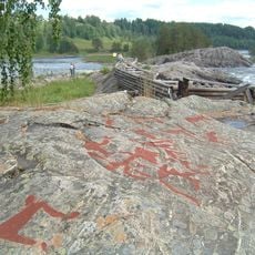
Nämforsens hällristningar
1.4 km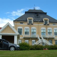
Österåsens hälsohem
29.4 km
Junsele Zoo
28.2 km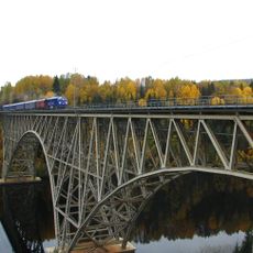
Forsmo Bridge
24.6 km
Ramsele gamla kyrka
23.4 km
Eds parish
26.4 km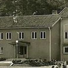
Ramsele Municipality
24 km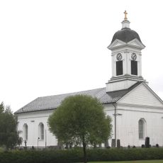
Ådals-Lidens församling
9.5 km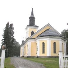
Junsele Church
27.6 km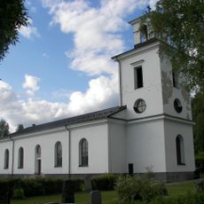
Resele Church
15.7 km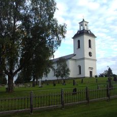
Helgums församling
24.8 km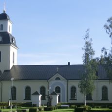
Ramsele Church
23.6 km
Eds kyrka, Ångermanland
27.2 km
Helgums kyrka
25.3 km
Edsele church
17.4 km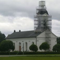
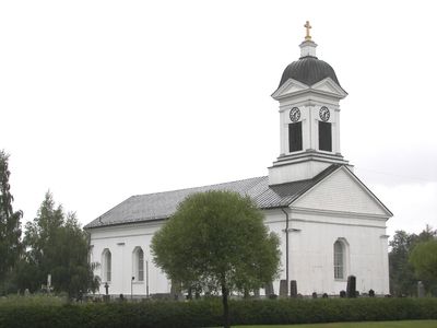
Ådals-Lidens kyrka
17 m
Resele
13.2 km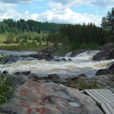
Nämforsen
1.4 km
Granvågsniporna
31.1 km
Nävernäsan
12.5 km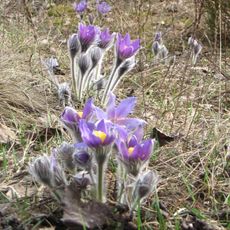
Nipsippan i Krången
27.5 km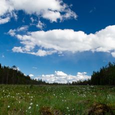
Oringsjö
12.3 km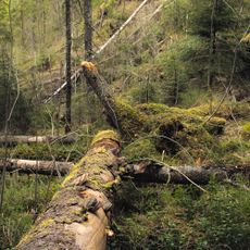
Rankarberget
19 km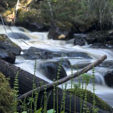
Mångmanskogen
8.8 km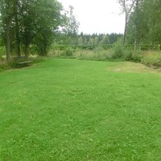
Ådals-Liden 18:1
364 m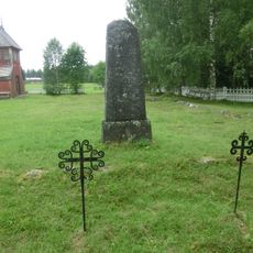
Junsele 96:4
26.1 km
Ådals-Lidens gamla kyrka
364 m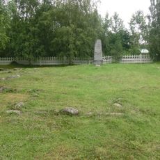
Junsele 96:1
26.1 kmReviews
Visited this place? Tap the stars to rate it and share your experience / photos with the community! Try now! You can cancel it anytime.
Discover hidden gems everywhere you go!
From secret cafés to breathtaking viewpoints, skip the crowded tourist spots and find places that match your style. Our app makes it easy with voice search, smart filtering, route optimization, and insider tips from travelers worldwide. Download now for the complete mobile experience.

A unique approach to discovering new places❞
— Le Figaro
All the places worth exploring❞
— France Info
A tailor-made excursion in just a few clicks❞
— 20 Minutes