
Österåkers socken, Uppland, historisk sogn i Uppland
Location: Österåker Municipality
Location: Åkers skeppslag
Part of: Uppland
GPS coordinates: 59.50750,18.28361
Latest update: May 4, 2025 23:53


Tuna gård
4.5 km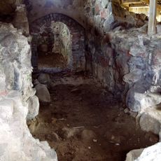
Tunaborgen
4.4 km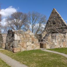
Össeby kyrkoruin
6.1 km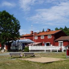
Domarudden
3.5 km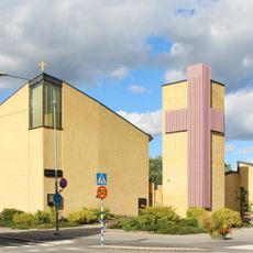
Åkersberga Church
3 km
Biskopstuna
4.5 km
Uppland Runic Inscription 181
6.4 km
Norrö
1.4 km
Uppland Runic Inscription 183
6.1 km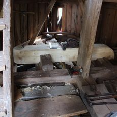
Brottby kvarn
6.5 km
Östa
5.6 km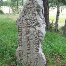
Uppland Runic Inscription 194
2.9 km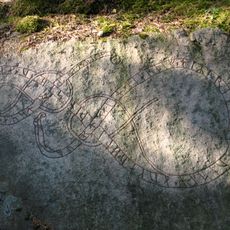
Upplands runinskrifter 209
7.1 km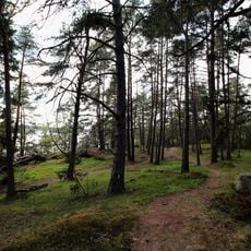
Näsudden
5.7 km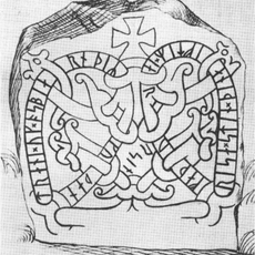
Uppland Runic Inscription 186
6.3 km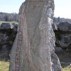
Uppland Runic Inscription 184
6.1 km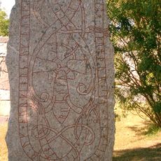
Upplands runinskrifter 180
6.4 km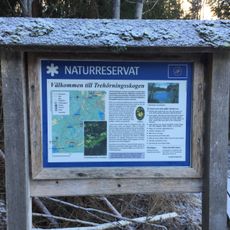
Trehörningsskogen
5.5 km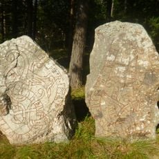
Uppland Runic Inscription 208
6.7 km
Uppland Runic Inscription 207
6.7 km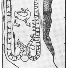
Uppland Runic Inscription 176
3.3 km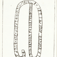
Uppland Runic Inscription 174
6 m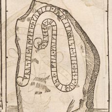
Uppland Runic Inscription 189
3.2 km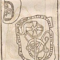
Uppland Runic Inscription 193
2.9 km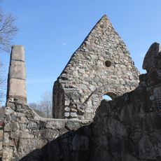
Össeby kyrkoruin
6.1 km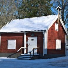
Båtsmansmuseet
2 km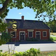
Hembygdsmuseet
534 m
Skolmuseet
1.5 kmVisited this place? Tap the stars to rate it and share your experience / photos with the community! Try now! You can cancel it anytime.
Discover hidden gems everywhere you go!
From secret cafés to breathtaking viewpoints, skip the crowded tourist spots and find places that match your style. Our app makes it easy with voice search, smart filtering, route optimization, and insider tips from travelers worldwide. Download now for the complete mobile experience.

A unique approach to discovering new places❞
— Le Figaro
All the places worth exploring❞
— France Info
A tailor-made excursion in just a few clicks❞
— 20 Minutes