
Älvdalens socken, historisk sogn i Dalarna
Location: Älvdalen Municipality
Inception: 1586
Part of: Dalarna
GPS coordinates: 61.22583,14.04167
Latest update: March 11, 2025 02:17
Österdal River
95.1 km
Orsa Lake
31.9 km
Kyrkhärbret i Älvdalen
74 m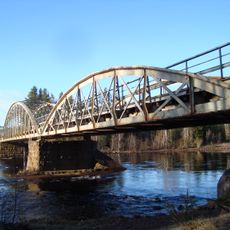
Oxbergsbron
12.5 km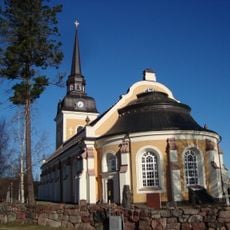
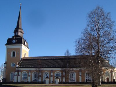
Älvdalen Church
30 m
Porfyr- och Hagströmmuseet
479 m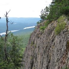
Hykjeberget
9.5 km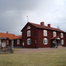
Rots skans
3.2 km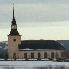
Våmhus Church
25.8 km
Venjan Church
31.4 km
Näcksjövarden
21.4 km
Evertsbergs kapell
11 km
Älvdals, Särna och Idre tingslag
157 m
Oxbergs kapell
14.2 km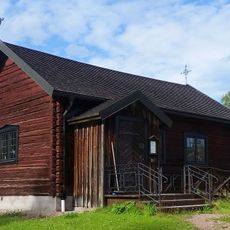
Hornberga kapell
31 km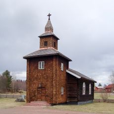
Åsens kapell, Dalarna
12.8 km
Älvdalens tingshus
203 m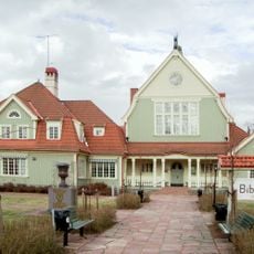
Älvdals tingslag
157 m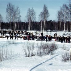
Vasaloppsspåret
22.1 km
Orsa tingslag
35 km
Stopån
29.4 km
Långsjöblik
30.3 km
Tramsgrav
19.1 km
Våmhuskölen
31.4 km
Anjosvarden
26.6 km
Lindängets naturreservat
33.6 km
Tjåberget
32.7 km
Rensjön
32.5 kmVisited this place? Tap the stars to rate it and share your experience / photos with the community! Try now! You can cancel it anytime.
Discover hidden gems everywhere you go!
From secret cafés to breathtaking viewpoints, skip the crowded tourist spots and find places that match your style. Our app makes it easy with voice search, smart filtering, route optimization, and insider tips from travelers worldwide. Download now for the complete mobile experience.

A unique approach to discovering new places❞
— Le Figaro
All the places worth exploring❞
— France Info
A tailor-made excursion in just a few clicks❞
— 20 Minutes