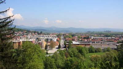
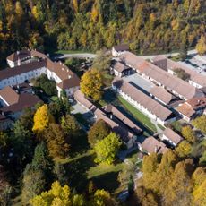
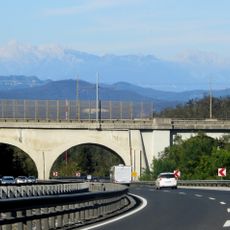
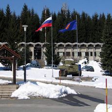
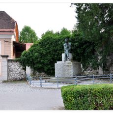
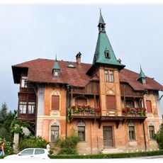
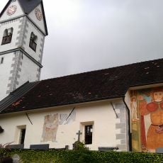
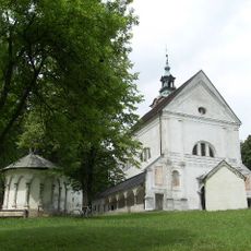
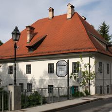
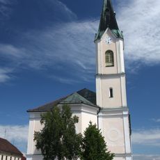
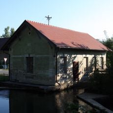
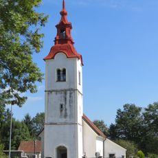
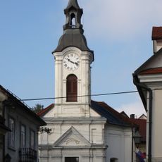
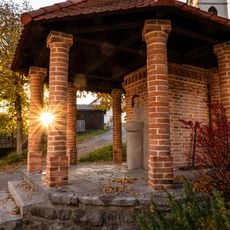
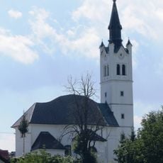
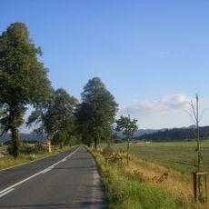
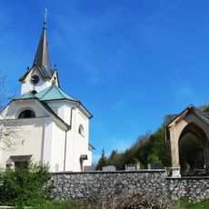
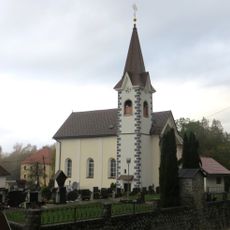
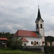
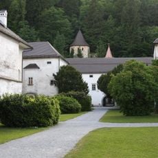
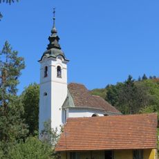
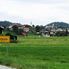
Vrhnika, city in Slovenia
Location: Municipality of Vrhnika
Elevation above the sea: 297 m
Website: http://vrhnika.si
GPS coordinates: 45.96222,14.29361
Latest update: May 23, 2025 17:41
Bistra Charterhouse
3.6 km
Stampetta Bridge
2.7 km
26 October Barracks
1.2 km
Ljubljanski vrh
3.5 km
Ivan Cankar memorial house
528 m
Zaklanec
7 km
Deer Valley Viaduct
6.8 km
Cankar Monument
596 m
Kunstle Villa
285 m
St. Cantianus's Church
7 km
Holy Trinity Church, Vrhnika
679 m
Lavrenčič house
630 m
Conversion of Paul the Apostle church
328 m
Hidroelektrarna Bistra
3.7 km
St. James's Church
4 km
St. Leonard's Church in Vrhnika
557 m
Tollazzi well
7.2 km
Holy Cross Parish Church
5.3 km
Napoleon Avenue
6 km
Assumption of Mary Church
6.7 km
St. Ulrich's Parish Church
4.6 km
St. Anthony the Great Church in Verd
972 m
Strmica Fort
5 km
Območje samostana Bistra
3.6 km
St. Nicholas's Church
6.4 km
St. George's Church
3.2 km
St. Leonard's Church
3.8 km
St. Margaret Parish Church
6.9 kmReviews
Visited this place? Tap the stars to rate it and share your experience / photos with the community! Try now! You can cancel it anytime.
Discover hidden gems everywhere you go!
From secret cafés to breathtaking viewpoints, skip the crowded tourist spots and find places that match your style. Our app makes it easy with voice search, smart filtering, route optimization, and insider tips from travelers worldwide. Download now for the complete mobile experience.
A unique approach to discovering new places❞
— Le Figaro
All the places worth exploring❞
— France Info
A tailor-made excursion in just a few clicks❞
— 20 Minutes