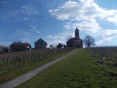
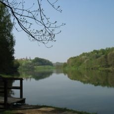
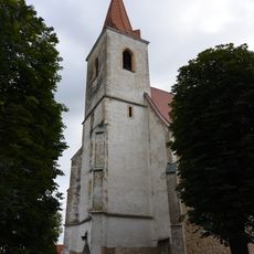
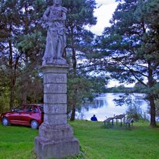
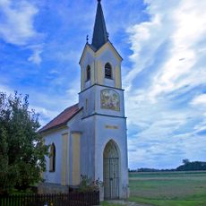
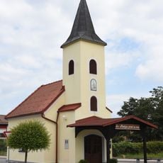
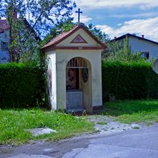
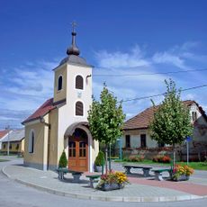
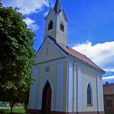
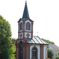
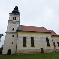
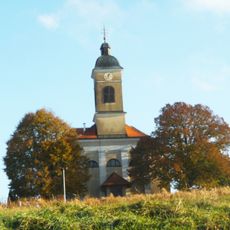
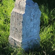
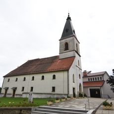
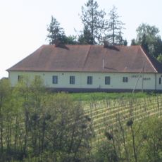
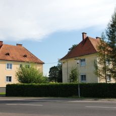
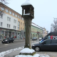
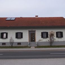
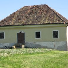
Municipality of Radenci, municipality of Slovenia
Location: Slovenia
Elevation above the sea: 208 m
Shares border with: Bad Radkersburg, Municipality of Sveti Jurij ob Ščavnici, Municipality of Gornja Radgona
Website: http://radenci.si
GPS coordinates: 46.63333,16.05000
Latest update: March 4, 2025 01:18
Municipality of Gornja Radgona
6.3 km
Terme Radenci
1.2 km
Lake Blaguš
8.6 km
Nativity of the Virgin Mary Parish Church
4 km
Šiftar memorial park
2.7 km
Spominsko znamenje, Krajna
5.2 km
St. John the Baptist's Chapel
4.2 km
St. Florian Chapel
6.5 km
Grofova kapelica, Tišina
3.5 km
Kapela sv. Duha, Satahovci
5.4 km
Kapela Marije Vnebovzete, Murski Črnci
4.9 km
Kapelle Sicheldorf
5.4 km
Znamenje, Očeslavci
5.3 km
Holy Spirit Church
9.4 km
Znamenje, Ptujska Cesta
4.5 km
Znamenje sv. Roka, Vučja vas
5.2 km
Smodniški stolp
6.6 km
Znamenje sv. Janeza Nepomuka, Ptujska Cesta
4 km
Teilbereich der Kuruzzenschanze in Dedenitz
6.7 km
Hiša Partizanska 45
6.2 km
St. Mary Magdalene's Parish Church
2 km
Grenzstein
5.1 km
St. George's Parish Church
7.5 km
Janžev hram
3.7 km
Zollwachwohn- und Wirtschaftsgebäude
5.8 km
Gornja Radgona Plague Column
6.6 km
Missia House
2.7 km
Vrečova zidanica
4.7 kmReviews
Visited this place? Tap the stars to rate it and share your experience / photos with the community! Try now! You can cancel it anytime.
Discover hidden gems everywhere you go!
From secret cafés to breathtaking viewpoints, skip the crowded tourist spots and find places that match your style. Our app makes it easy with voice search, smart filtering, route optimization, and insider tips from travelers worldwide. Download now for the complete mobile experience.
A unique approach to discovering new places❞
— Le Figaro
All the places worth exploring❞
— France Info
A tailor-made excursion in just a few clicks❞
— 20 Minutes