Municipality of Gornja Radgona
Municipality of Gornja Radgona, Historic municipality in Gornja Radgona, Slovenia
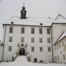
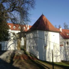
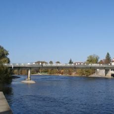
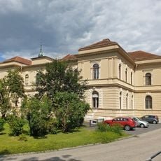
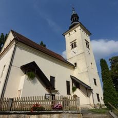
The Municipality of Gornja Radgona is an administrative district in Slovenia that stretches across rolling terrain along the Mur River. At its center stands a castle on elevated ground, visible from the Austrian side of the river and serving as a landmark for the landscape.
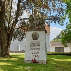
The area was part of Austria-Hungary until 1919, when it was divided between Austria and Slovenia following World War I. This split separated the municipality from its neighboring settlement across the river.
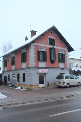
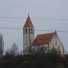
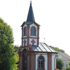
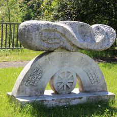
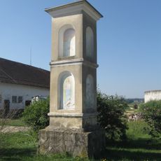
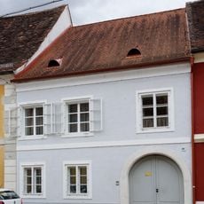
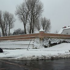
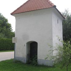
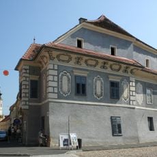
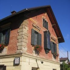
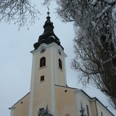
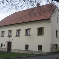
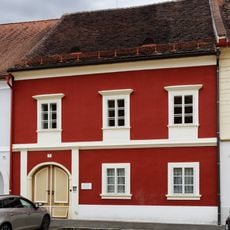
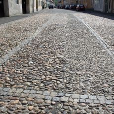
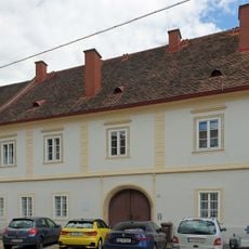
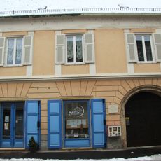
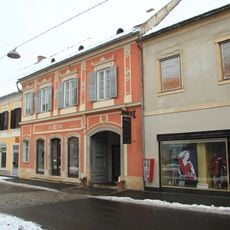
The area bears the mark of its position between Slovenia and Austria, visible in how buildings blend styles from both sides of the border. This shared heritage shapes how the community expresses itself through its local traditions and appearance.
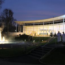
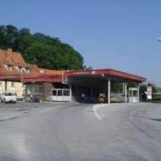
The municipality is shaped by the Mur River and offers access to natural warm water springs in the surrounding area. Visitors should know that the region is surrounded by Austria on several sides, with border crossings easily reached.
The region is home to natural thermal springs with temperatures around 80 degrees Celsius, long valued for their therapeutic properties. This geothermal wealth now draws visitors interested in wellness and natural health treatments.
Location: Slovenia
Elevation above the sea: 251 m
Website: https://gor-radgona.si
GPS coordinates: 46.66667,15.98333
Latest update: December 10, 2025 16:29
Parktherme Bad Radkersburg
2.2 km
Gornja Radgona Castle
1.7 km
Negova Castle
7.1 km
Peace Bridge
1.9 km
Victory monument of the Red Army
2.1 km
Three Wise Men Church
9.8 km
Puch Gedenkstaette
2.1 km
Grenzübergang Bad Radkersburg
1.9 km
Kapelle Sicheldorf
3.9 km
Kip sv. Janeza Nepomuka
7.2 km
Finanzamt Bad Radkersburg
2.1 km
Flood protection memorial
2 km
Znamenje, Ptujska Cesta
3.5 km
Znamenje, Očeslavci
7 km
Bürgerhaus
2.2 km
City wall of Bad Radkersburg
2.3 km
Smodniški stolp
1.7 km
Znamenje sv. Janeza Nepomuka, Ptujska Cesta
3.5 km
Türkenloch
2.2 km
Hiša Partizanska 45
1.1 km
St. Peter's Parish Church
1.5 km
Župnišče
9.7 km
Bürgerhaus mit Hofgebäude und Teil der Stadtbefestigung
2.2 km
Straßenpflaster Bad Radkersburg
2.2 km
Murgasse 6, Bad Radkersburg
2.2 km
Bürgerhaus
2.2 km
Nativity of the Virgin Mary Parish Church
7.3 km
Wohn- und Geschäftshaus m. Wirtschaftsgebäude
2.2 kmVisited this place? Tap the stars to rate it and share your experience / photos with the community! Try now! You can cancel it anytime.
Discover hidden gems everywhere you go!
From secret cafés to breathtaking viewpoints, skip the crowded tourist spots and find places that match your style. Our app makes it easy with voice search, smart filtering, route optimization, and insider tips from travelers worldwide. Download now for the complete mobile experience.
A unique approach to discovering new places❞
— Le Figaro
All the places worth exploring❞
— France Info
A tailor-made excursion in just a few clicks❞
— 20 Minutes