
Municipality of Benedikt, municipality of Slovenia
Elevation above the sea: 287 m
Website: http://benedikt.si
GPS coordinates: 46.60528,15.89167
Latest update: March 3, 2025 21:07

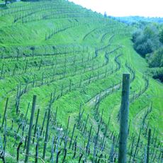
Slovene Hills
3.1 km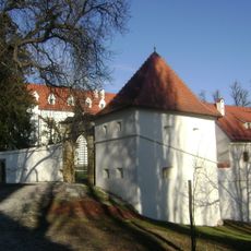
Negova Castle
3.5 km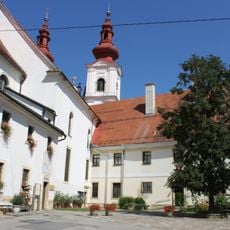
Franciscan Monastery of Sveta Trojica v Slovenskih goricah
3.5 km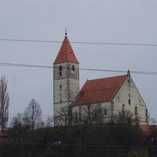
Three Wise Men Church
442 m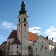
St. Leonard's Parish Church
5.8 km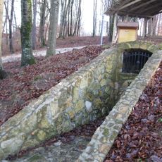
Rimsko gomilno grobišče v Brengovi
4.8 km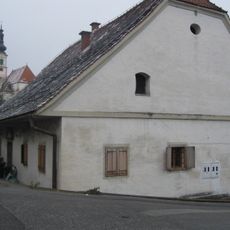
Špital, Lenart v Slovenskih goricah
5.9 km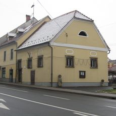
Lenart v Slovenskih Goricah Town Hall
5.7 km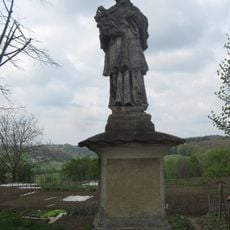
Kip sv. Janeza Nepomuka
3.5 km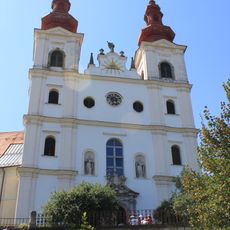
Holy Trinity Parish Church
3.5 km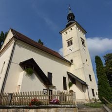
Nativity of the Virgin Mary Parish Church
3.5 km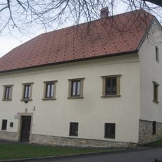
Župnišče
399 m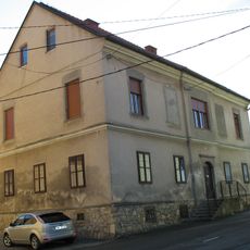
Hiša Jurovska 3
5.8 km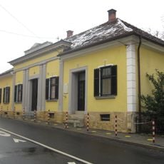
Hiša Ptujska 2
5.8 km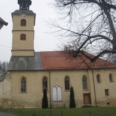
St. Benedict Parish Church
398 m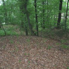
Rimskodobno gomilno grobišče Zorkov gozd
5.7 km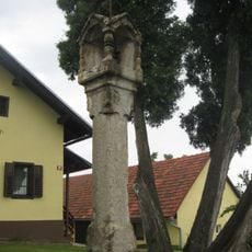
Znamenje, Cogetinci
5.2 km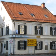
Hiša Trg osvoboditve 3
5.7 km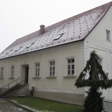
Župnišče Trg osvoboditve 13
5.8 km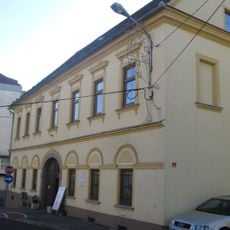
Hiša Jurovska 1
5.8 km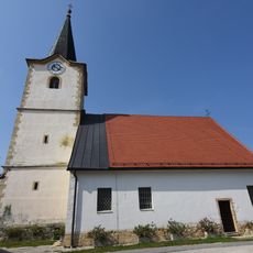
St. Anthony the Great Parish Church
5.9 km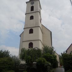
St. Anne's Parish Church
5.9 km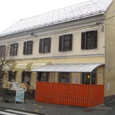
Hiša Trg osvoboditve 11
5.7 km
Hiša Trg osvoboditve 8
5.7 km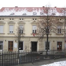
Hiša Trg osvoboditve 9
5.7 km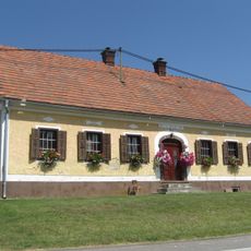
Domačija Cogetinci 53
5.9 km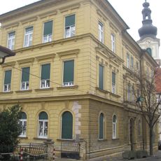
Šola Trg osvoboditve 12
5.8 km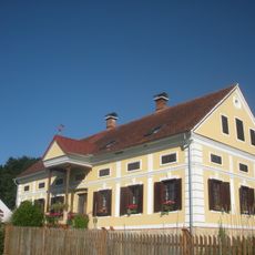
Domačija Brengova 20
5.4 kmReviews
Visited this place? Tap the stars to rate it and share your experience / photos with the community! Try now! You can cancel it anytime.
Discover hidden gems everywhere you go!
From secret cafés to breathtaking viewpoints, skip the crowded tourist spots and find places that match your style. Our app makes it easy with voice search, smart filtering, route optimization, and insider tips from travelers worldwide. Download now for the complete mobile experience.

A unique approach to discovering new places❞
— Le Figaro
All the places worth exploring❞
— France Info
A tailor-made excursion in just a few clicks❞
— 20 Minutes