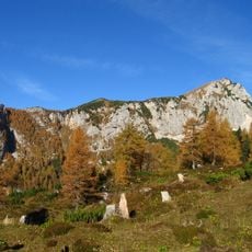
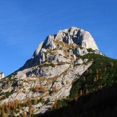
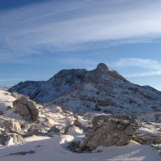
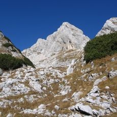
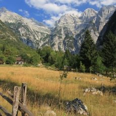
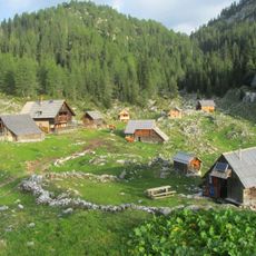
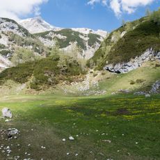
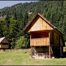
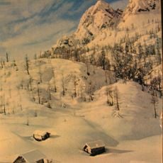
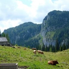
Komarča, Mountain landmark near Triglav National Park, Slovenia.
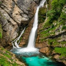
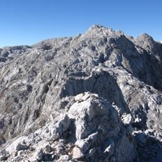
Komarča is a steep rocky area at the end of the Bohinj Valley, above the Savica waterfall, rising between 700 and 1300 metres above sea level. The path across it is known as one of the fastest routes into the high mountains of Triglav National Park.
Komarča is a steep rocky area above the Savica waterfall, east of Lake Bohinj, rising between about 700 and 1300 m. The sources record no glacial origin for it; the only dated event is a large fire in 2003, after which the trail across Komarča was closed to hikers for a long time.
The route over Komarča starts at Koča pri Savici and is used as a fast way into the high ground of Triglav National Park. The name Komarča refers to the steep rocky headwall of the Bohinj Valley above the Savica waterfall, between about 700 and 1300 m. A large fire in 2003 kept the path closed to hikers for a long time.
The route starts at Koča pri Savici, the hut by the Savica waterfall, and climbs through the Komarča rock face to Črno jezero at 1319 m, about 1.5 hours for an average hiker. The path was closed for a long period after a large fire in 2003, so check current trail conditions before setting out.
Komarča is the steep rocky headwall of the Bohinj Valley above the Savica waterfall, rising between about 700 and 1300 m. The route across it is known as one of the fastest ways into the high ground of Triglav National Park. A large fire in 2003 closed the path to hikers for a long time.
The community of curious travelers
AroundUs brings together thousands of curated places, local tips, and hidden gems, enriched daily by 93,808 contributors worldwide.