
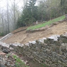
Kraj poslednjega boja Pohorskega bataljona
Location: Municipality of Slovenska Bistrica
GPS coordinates: 46.45864,15.41835
Latest update: April 13, 2025 14:08

Ančnikovo gradišče
8.8 km
Church of Saint Areh
8.1 km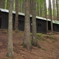
Jesen Partisan Hospital
3.5 km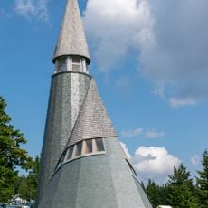
Church of the transfiguration of Jesus Christ
6.4 km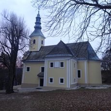
Mother of God Church
9.2 km
Graščina v Oplotnici
8.2 km
Žigartov vrh
6.6 km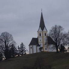
St. Martin's Church
8.6 km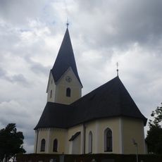
St. Cunigunde's Parish Church
6.9 km
Kebelj Upper Castle
5.6 km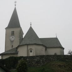
Sts. Peter and Paul Parish Church (Veliko Tinje)
8 km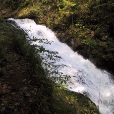
Bistriški Šum
8.9 km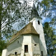
Church of Saint Ursula, Bojtina
6.6 km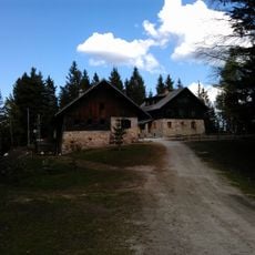
Lodge on Šumik
3.5 km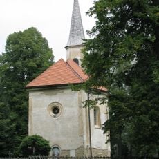
Mother of God Church
6.1 km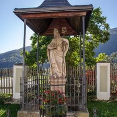
Kip sv. Miklavža, Lovrenc na Pohorju
9.2 km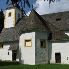
Cerkev sv. Urha, Urh
7.6 km
Spomenik boju Pohorske čete, Kumen
4.4 km
St. Margaret's Church
6 km
St. John the Baptist's Parish Church
8.4 km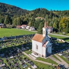
Kapela Marije Sedem žalosti, Lovrenc na Pohorju
8.9 km
St. Lambertus' Parish Church
7.9 km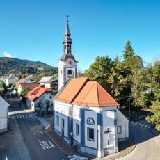
Holy Cross Church
9.4 km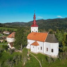
St. Lawrence's Parish Church
9 km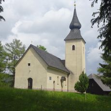
St. James's Church
6.2 km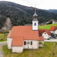
Cerkev sv. Radegunde, Lovrenc na Pohorju
8.9 km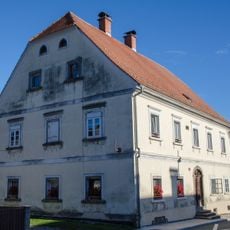
Hiša Gornji trg 16, Lovrenc na Pohorju
9.3 km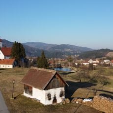
Župnijska pajštva
9 kmVisited this place? Tap the stars to rate it and share your experience / photos with the community! Try now! You can cancel it anytime.
Discover hidden gems everywhere you go!
From secret cafés to breathtaking viewpoints, skip the crowded tourist spots and find places that match your style. Our app makes it easy with voice search, smart filtering, route optimization, and insider tips from travelers worldwide. Download now for the complete mobile experience.

A unique approach to discovering new places❞
— Le Figaro
All the places worth exploring❞
— France Info
A tailor-made excursion in just a few clicks❞
— 20 Minutes