
Hiša Jurkovičeva 17, Haus in Slowenien
Location: Municipality of Gornja Radgona
GPS coordinates: 46.68231,15.98724
Latest update: April 19, 2025 15:38
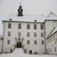
Gornja Radgona Castle
280 m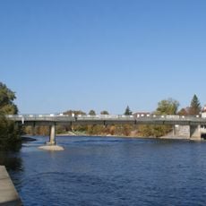
Peace Bridge
184 m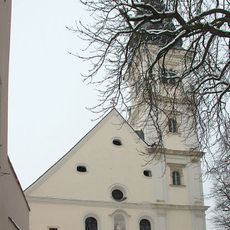
Frauenkirche Bad Radkersburg
545 m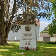
Victory monument of the Red Army
341 m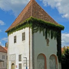
Puch Gedenkstaette
370 m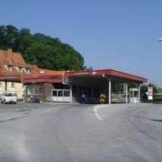
Grenzübergang Bad Radkersburg
159 m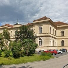
Finanzamt Bad Radkersburg
348 m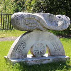
Flood protection memorial
255 m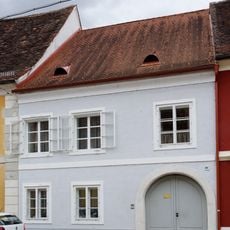
Bürgerhaus
419 m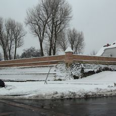
City wall of Bad Radkersburg
549 m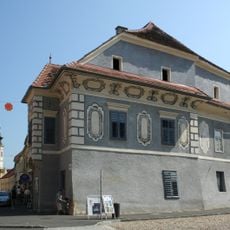
Türkenloch
452 m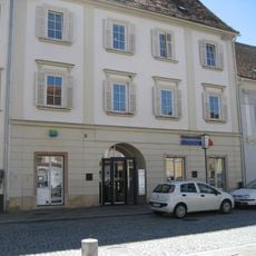
Hauptplatz 8 Bad Radkersburg
554 m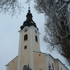
St. Peter's Parish Church
270 m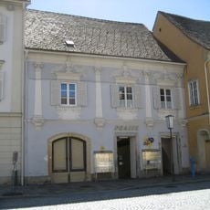
Hauptplatz 6 Bad Radkersburg
553 m
Bürgerhaus mit Hofgebäude und Teil der Stadtbefestigung
417 m
Bürgerhaus mit Teil der mittelalterlichen Stadtmauer
538 m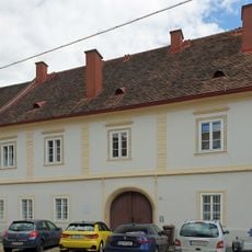
Murgasse 6, Bad Radkersburg
414 m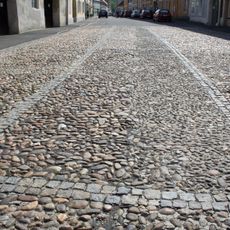
Straßenpflaster Bad Radkersburg
434 m
Bürgerhaus
477 m
Wohn- und Geschäftshaus m. Wirtschaftsgebäude
451 m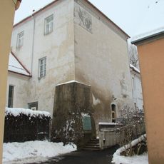
Wehrturm Bad Radkersburg
549 m
Langgasse 22, Bad Radkersburg
544 m
Hauptplatz 4 Bad Radkersburg
558 m
Bürgerhaus
516 m
Bürgerhaus/ehem. Heiliggeistkirche
398 m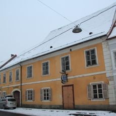
Ehem. Murstüberl
397 m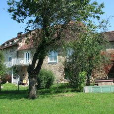
Befestigungsanlage
430 m
Hiša Jurkovičeva 25
75 mReviews
Visited this place? Tap the stars to rate it and share your experience / photos with the community! Try now! You can cancel it anytime.
Discover hidden gems everywhere you go!
From secret cafés to breathtaking viewpoints, skip the crowded tourist spots and find places that match your style. Our app makes it easy with voice search, smart filtering, route optimization, and insider tips from travelers worldwide. Download now for the complete mobile experience.

A unique approach to discovering new places❞
— Le Figaro
All the places worth exploring❞
— France Info
A tailor-made excursion in just a few clicks❞
— 20 Minutes