
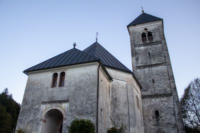
St. Mary of Help Church, church building in Dolenjske Toplice Municipality, Slovenia
Location: Dolenjske Toplice Municipality
GPS coordinates: 45.72880,15.05631
Latest update: March 17, 2025 20:34
Kočevski rog - Baza 20
3.6 km
Soteska Mansion
6.4 km
Jelendol partisan hospital
3.1 km
Old Soteska Castle
6.7 km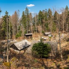
Partisan hospital Zgornji Hrastnik
5.7 km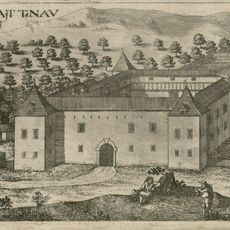
Zalog Mansion
8.7 km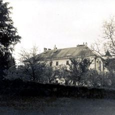
Ruperčvrh Mansion
8.5 km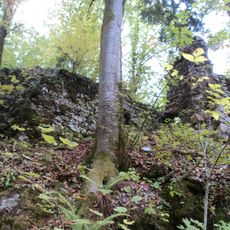
Rožek Castle
1.9 km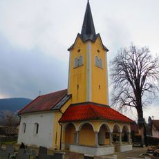
Consolation of Mary Parish Church
3.4 km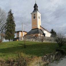
St. Martin's Church
8.8 km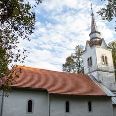
St. Vitus's Church
5.2 km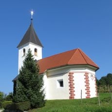
St. Ursula's Church
1.6 km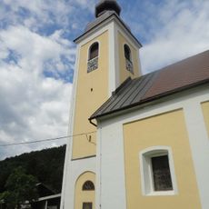
St. Andrew's Parish Church
650 m
St. Anne's Parish Church
3.1 km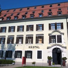
Hotel Kristal, Dolenjske Toplice
3.1 km
Območje gradu Soteska
6.3 km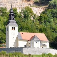
St. Erasmus Parish Church
6.4 km
St. James's Parish Church
6 km
Tabor
3.1 km
St. Nicholas's Church
1.8 km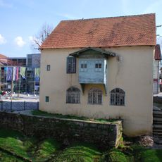
Hiša Sokolski trg 1
3 km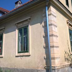
Konvalinka House
3 km
Zdraviliški park
3.2 km
Cerkev sv. Antona Puščavnika, Meniška vas
3.7 km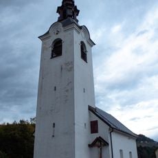
St. Roch's Church
3.1 km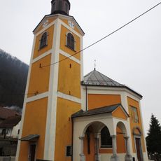
Assumption of Mary Church
8.1 km
St. Thomas's Church
6.6 km
Dularjeva mlin in žaga, Vavta vas
6.1 kmReviews
Visited this place? Tap the stars to rate it and share your experience / photos with the community! Try now! You can cancel it anytime.
Discover hidden gems everywhere you go!
From secret cafés to breathtaking viewpoints, skip the crowded tourist spots and find places that match your style. Our app makes it easy with voice search, smart filtering, route optimization, and insider tips from travelers worldwide. Download now for the complete mobile experience.

A unique approach to discovering new places❞
— Le Figaro
All the places worth exploring❞
— France Info
A tailor-made excursion in just a few clicks❞
— 20 Minutes