
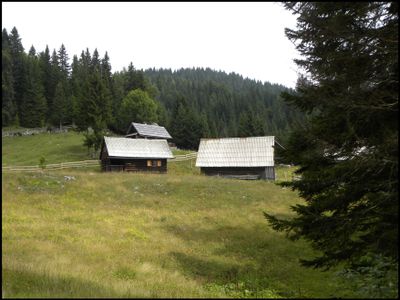
Planina Konjska dolina, mountain pasture in Slovenia
Location: Bohinj Municipality
Elevation above the sea: 1,330 m
GPS coordinates: 46.31752,13.95119
Latest update: March 3, 2025 02:43
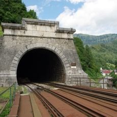
Bohinj Tunnel
5.5 km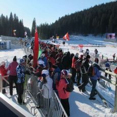
Pokljuka Biathlon Stadium
3.8 km
Planina Uskovnica
3.4 km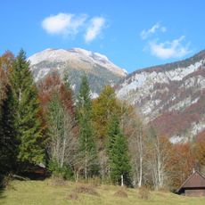
Tosc
7.7 km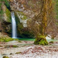
Grmečica waterfalls
5 km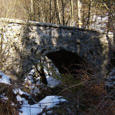
Hudičev most, Bohinj
5.5 km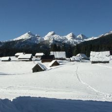
Planina Javornik
4.7 km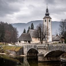
St. John the Baptist's Church, Ribčev Laz
6.6 km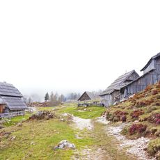
Planina Krstenica
7.8 km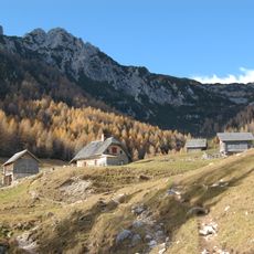
Planina Konjščica
5.5 km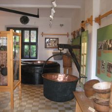
Alpine Dairy Farming Museum
5.4 km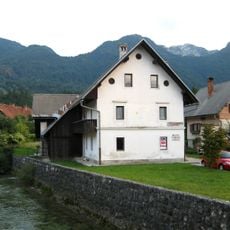
Bistrica (Sava Bohinjka)
5.5 km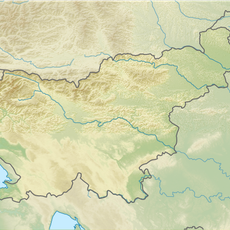
Brda
7.8 km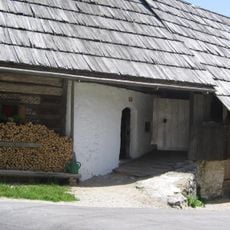
Oplen House
3.7 km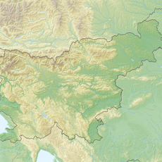
Debeli vrh
6.9 km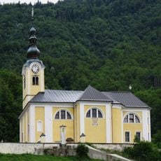
St. Martin's Parish Church in Srednja Vas v Bohinju
3 km
Vrh Razora
7.1 km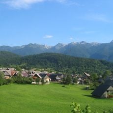
Fužina Hills
5.5 km
V. Draški vrh.
7.5 km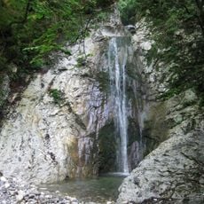
Ribnica
3.3 km
Veliki Selišnik
6.5 km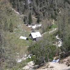
Planina Lipanca
6.7 km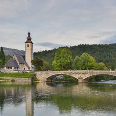
Janez's bridge
6.6 km
Planina Voje
5.3 km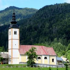
St. Margaret's Church
2.5 km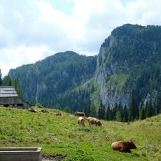
Planina Vogar
7 km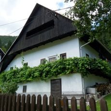
Mencinger House
5.1 km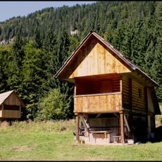
Planina Hebed
7.8 kmReviews
Visited this place? Tap the stars to rate it and share your experience / photos with the community! Try now! You can cancel it anytime.
Discover hidden gems everywhere you go!
From secret cafés to breathtaking viewpoints, skip the crowded tourist spots and find places that match your style. Our app makes it easy with voice search, smart filtering, route optimization, and insider tips from travelers worldwide. Download now for the complete mobile experience.

A unique approach to discovering new places❞
— Le Figaro
All the places worth exploring❞
— France Info
A tailor-made excursion in just a few clicks❞
— 20 Minutes