
Bukovec, municipality of Slovakia
Location: Košice-okolie District
Inception: 1347
Elevation above the sea: 351 m
Website: http://Bukovec.sk
Website: http://Bukovec.sk
GPS coordinates: 48.70944,21.15083
Latest update: June 26, 2025 22:41
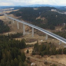
Valy Bridge
190.6 km
Čertovy mlýny
194.4 km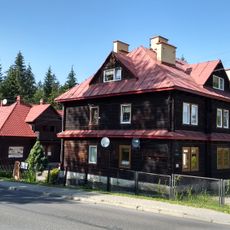
WOP post in Jaworzynka
190.1 km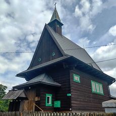
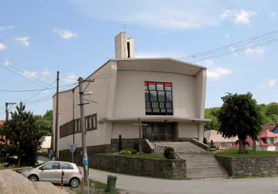
Church of Saints Cyril and Methodius
191.5 km
Bukovec
191.5 km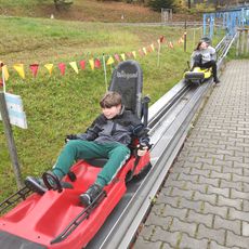
Bobsleigh track in Mosty u Jablunkova
196.3 km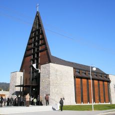
Lutheran church in Písek (Frýdek-Místek District)
196 km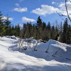
Plenisko
195.1 km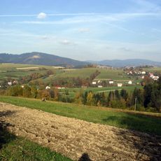
Młoda Góra
192.3 km
Památný jilm v Bukovci
194.3 km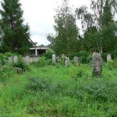
Jewish cemetery in Jablunkov
198.7 km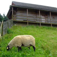
Muzeum Regionalne "Na Grapie" w Jaworzynce
190 km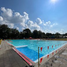
Koupaliště Ameryka
197.9 km
Čierne-Polesie railway stop
189.3 km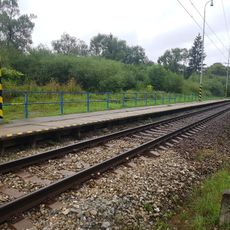
Čierne pri Čadci zastávka railway halt
190.1 km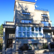
Školní 474
198.8 km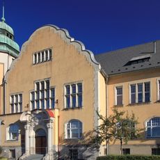
Town hall in Jablunkov
198.8 km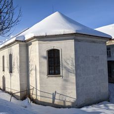
Starý klášter alžbětinek s kaplí svaté Rodiny
198.8 km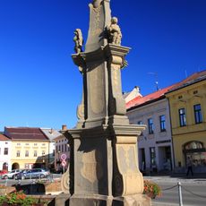
Fountain and statue of the Immaculata
198.8 km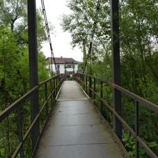
Lávka přes Olši v Jablunkově u Ameryky
197.6 km
Dům čp. 18
198.8 km
Dům čp. 19
198.8 km
Mariánské náměstí 16
198.8 km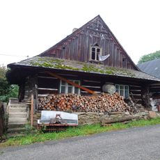
Usedlost čp. 78
193.2 km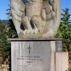
Polish Legion Memorial in Jablunkov
198.7 km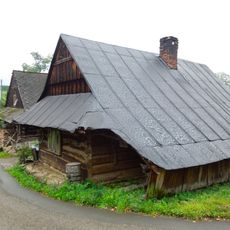
Usedlost čp. 79
193.2 km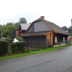
Usedlost čp. 35
193.6 km
Křtitelnice
198.7 kmReviews
Visited this place? Tap the stars to rate it and share your experience / photos with the community! Try now! You can cancel it anytime.
Discover hidden gems everywhere you go!
From secret cafés to breathtaking viewpoints, skip the crowded tourist spots and find places that match your style. Our app makes it easy with voice search, smart filtering, route optimization, and insider tips from travelers worldwide. Download now for the complete mobile experience.

A unique approach to discovering new places❞
— Le Figaro
All the places worth exploring❞
— France Info
A tailor-made excursion in just a few clicks❞
— 20 Minutes