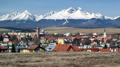
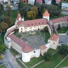
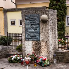
Kežmarok, town in Slovakia
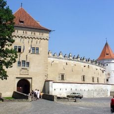
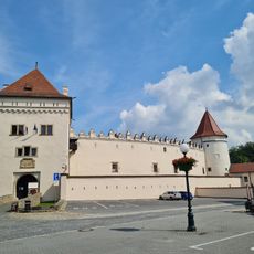
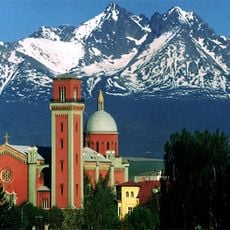
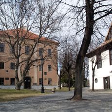
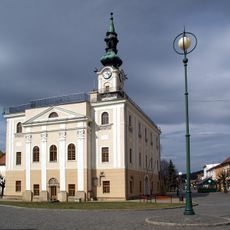
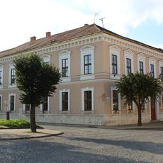
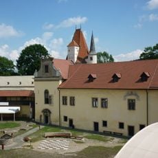
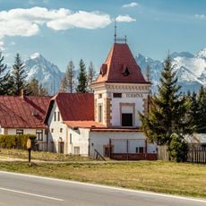
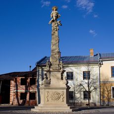
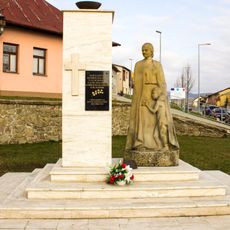
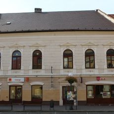
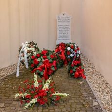
Kežmarok is a town in Slovakia that developed as a regional administrative and trading hub. It has a well-preserved historic core with a large main square surrounded by civic buildings from different periods and important public structures.
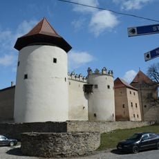
The town started in the medieval period as a trading settlement along important routes and became one of the region's key centers. Its growth was tied to commercial activities and the administration of the surrounding area.
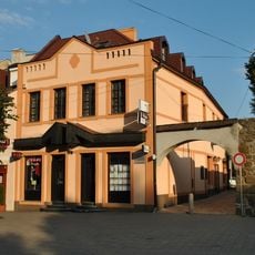
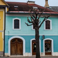
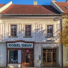
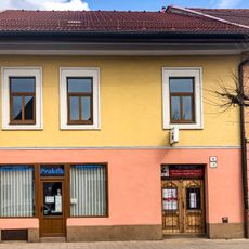
The town center shows a long tradition of trade and craftsmanship visible in the facades and shops around the main square. These local practices shape everyday life here, with small workshops and family-run stores that have kept traditional skills alive.
The town center is easy to walk around, with clear streets laid out around the main square that serves as your point of reference. Shops, cafes, and services are within easy reach, making it best to explore on foot.
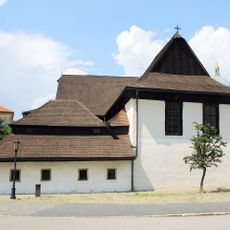
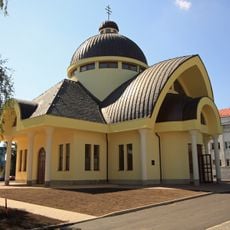
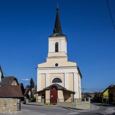
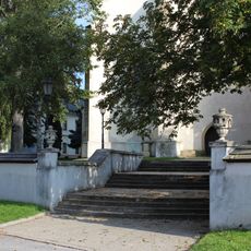
The town has several wooden churches and traditional religious sites that show how local builders combined sacred structures with regional building styles. These buildings are uncommon examples of how religious architecture developed in this part of the region.
Location: Kežmarok District
Inception: 1251
Elevation above the sea: 626 m
Email: primator@kezmarok.sk
Website: https://kezmarok.sk
GPS coordinates: 49.13621,20.43087
Latest update: December 14, 2025 17:20
Wooden Articular Church
373 m
Kežmarok Castle
436 m
Kežmarok Castle Slovakia
404 m
Strazky Chateau
4.3 km
Evangelic church in Kežmarok
328 m
Lyceum in Kežmarok
395 m
Greek Catholic church in Kežmarok
422 m
Kostol sv. Michala
3.1 km
Town hall in Kežmarok
109 m
Socha Panny Márie na stĺpe, socha-kópia
2 km
Meštiansky dom
292 m
Thökölyho hrad, Kežmarský zámok, veža bránová
436 m
Býv. ev. dievčenská mešt. škola
254 m
Thökölyho hrad, Kežmarský zámok, studňa hradná
446 m
Thökölyho hrad, Kežmarský zámok, bašta III.
409 m
Meštiansky dom
151 m
Meštiansky dom
147 m
Kostol sv. Kríža s areálom, múr hradbový s bránou
202 m
El. Weinovej textilky, Turbína, rozdeľovňa vody s turbínami
2.2 km
Meštiansky dom
249 m
Červená škola s areálom, tabuľa pamätná
287 m
Socha Panny Márie na stĺpe, socha
2 km
Pomník v Reisingerovej záhrade
487 m
Pomník padlým v I. +II. sv. v.
2.2 km
Magura
135 m
Pomník padlým v SNP
476 m
Meštiansky dom
137 m
Cintorín, pomník
312 mVisited this place? Tap the stars to rate it and share your experience / photos with the community! Try now! You can cancel it anytime.
Discover hidden gems everywhere you go!
From secret cafés to breathtaking viewpoints, skip the crowded tourist spots and find places that match your style. Our app makes it easy with voice search, smart filtering, route optimization, and insider tips from travelers worldwide. Download now for the complete mobile experience.
A unique approach to discovering new places❞
— Le Figaro
All the places worth exploring❞
— France Info
A tailor-made excursion in just a few clicks❞
— 20 Minutes