
Fričkovce, municipality of Slovakia
Location: Bardejov District
Inception: 1427
Elevation above the sea: 437 m
Website: https://www.frickovce.sk/
Shares border with: Hertník
Website: https://frickovce.sk
GPS coordinates: 49.18462,21.24356
Latest update: June 2, 2025 23:41
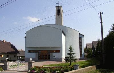
Church of Saint-Francis of Assisi
7.5 km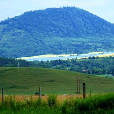
Lysá Stráž
11.3 km
Synagogue in Raslavice
6.4 km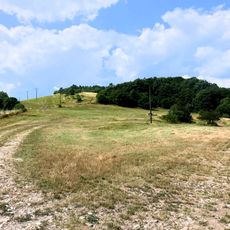
Demjatske kopce
8.8 km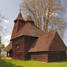
Temple of St. Luke
5.7 km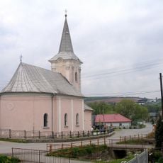
Kostol sv. Jána Krstiteľa
10.1 km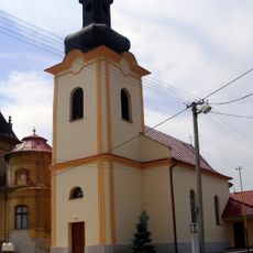
Povýšenia sv. Kríža
11.3 km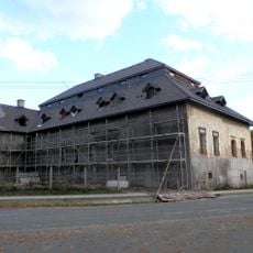
Terňa Manor house
8.2 km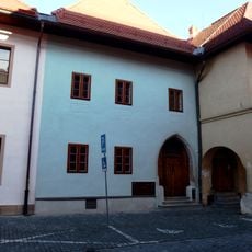
Meštiansky dom
12.1 km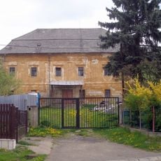
Kaštel Tulčík
11.7 km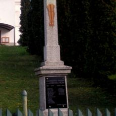
Pomník padlým v I. a II. sv. v.
11.4 km
Synagóga
6.4 km
Chrám Zosnutia Presv. Bohorod.
5.4 km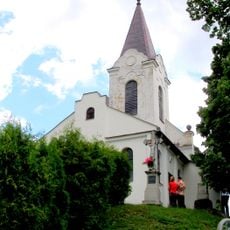
Church in Jakubovany
11.3 km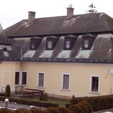
Bývalý kaštieľ, kláštor, kaštieľ
7.2 km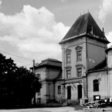
Kaštel Uzovských
11.3 km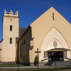
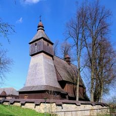
Kostol sv. Michala
1.9 km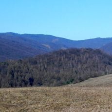
Hrádok, hradisko
5.6 km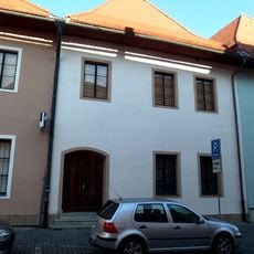
Remeselnícky dom
12.1 km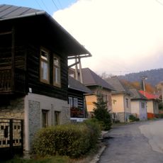
Ľudový dom
11.5 km
Sypanec
7.5 km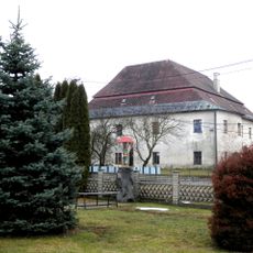
Semseyovský kaštieľ
10.1 km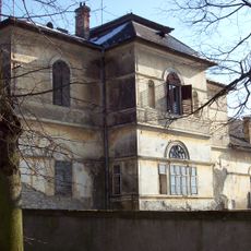
Kaštieľ a park, kaštieľ
7.1 km
Kostol r. k. sv. Františka, múr ohradný
7.5 km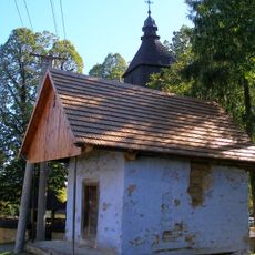
Sypanec
7.5 km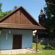
Sypanec
7.5 km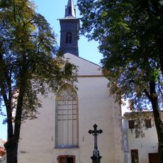
Klasztor Franciszkanów
12.1 km
Mestské hradby, bašta
12 kmReviews
Visited this place? Tap the stars to rate it and share your experience / photos with the community! Try now! You can cancel it anytime.
Discover hidden gems everywhere you go!
From secret cafés to breathtaking viewpoints, skip the crowded tourist spots and find places that match your style. Our app makes it easy with voice search, smart filtering, route optimization, and insider tips from travelers worldwide. Download now for the complete mobile experience.

A unique approach to discovering new places❞
— Le Figaro
All the places worth exploring❞
— France Info
A tailor-made excursion in just a few clicks❞
— 20 Minutes