
Senica District, district of Slovakia
Location: Trnava Region
Capital city: Senica
Shares border with: Myjava District, Skalica District, Malacky District, Trnava District, Břeclav District, Gänserndorf District
GPS coordinates: 48.67639,17.36389
Latest update: April 3, 2025 16:48
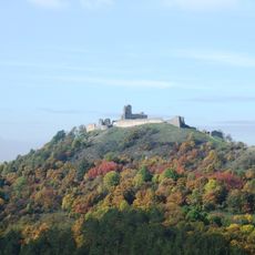
Branč Castle
9.9 km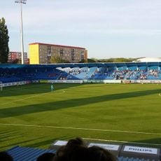
Štadión FK Senica
1.3 km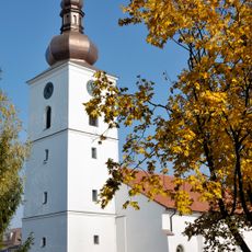
Church of the Virgin Mary
451 m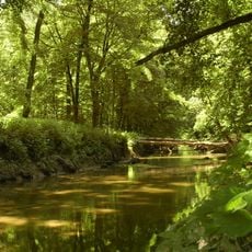
Rieka Myjava
5.4 km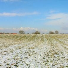
Branč
9.9 km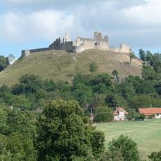
Branč
9.9 km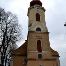
Evanjelický kostol
7.1 km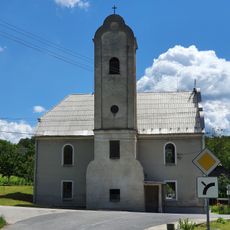
Evanjelický kostol
9.9 km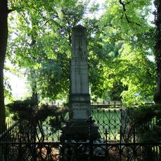
Hrob s pomníkom J. M. Hurbana
3.6 km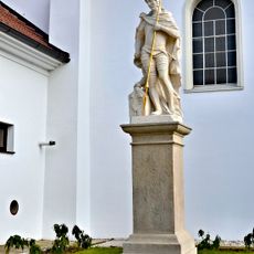
Socha sv. Floriána
459 m
Kostol Navštívenia Panny Márie, kostol
446 m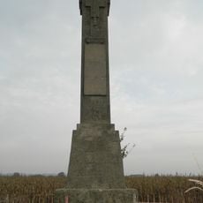
Pomník popraveným r. 1848
2.1 km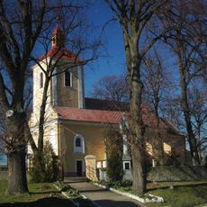
Kostol sv. Kataríny
5.9 km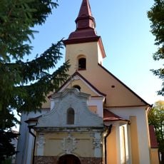
Kostol Všetkých svätých
7.9 km
Kostol sv. Štefana Kráľa s areá, súsošie
8.1 km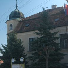
Nyary Manor house
6.8 km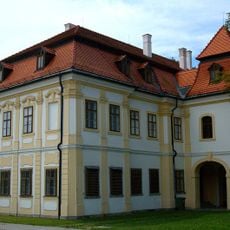
Manor house Machatka
884 m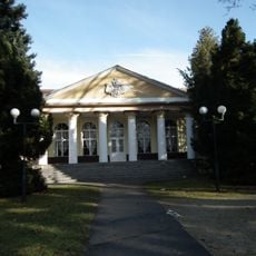
Kúpele Smrdáky, dom kúpeľný
6.6 km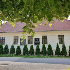
Memorial Rectory
3.8 km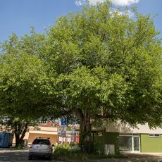
Mulberry tree from Senica
372 m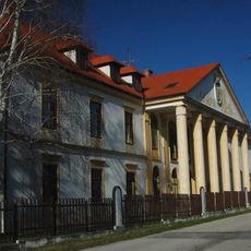
Kaštieľ a park, kaštieľ
5.8 km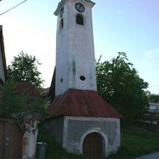
Haban bell tower
6.9 km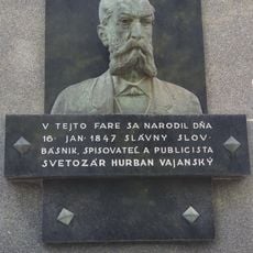
Pamätná fara, tabuľa pamätná I.
3.8 km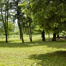
Kaštieľ s areálom, park
8.2 km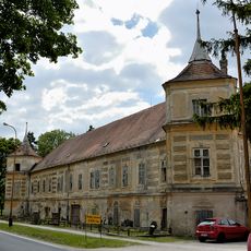
Kaštieľ s areálom, kaštieľ
8.1 km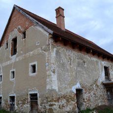
Starý habánsky mlyn
6.9 km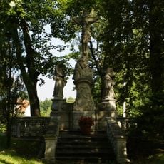
Kostol sv. Štefana Kráľa s areá, terasa
8.1 km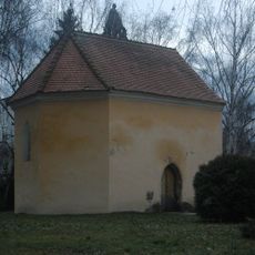
Kostol Navštívenia Panny Márie, karner
424 mVisited this place? Tap the stars to rate it and share your experience / photos with the community! Try now! You can cancel it anytime.
Discover hidden gems everywhere you go!
From secret cafés to breathtaking viewpoints, skip the crowded tourist spots and find places that match your style. Our app makes it easy with voice search, smart filtering, route optimization, and insider tips from travelers worldwide. Download now for the complete mobile experience.

A unique approach to discovering new places❞
— Le Figaro
All the places worth exploring❞
— France Info
A tailor-made excursion in just a few clicks❞
— 20 Minutes