
Topoľčany District, district of Slovakia
Location: Nitra Region
Inception: 1996
Capital city: Topoľčany
Shares border with: Nitra District, Zlaté Moravce District, Partizánske District, Bánovce nad Bebravou District, Nové Mesto nad Váhom District, Hlohovec District, Piešťany District
GPS coordinates: 48.55830,18.20690
Latest update: March 7, 2025 04:55
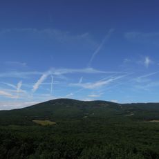
Veľký Tribeč
10.2 km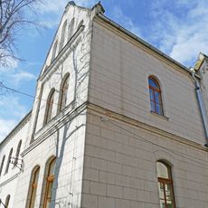
Bảo tàng Tribeč ở Topoľčany
2.3 km
Church of Assumption of the Holy Virgin
2.4 km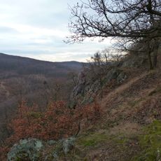
Hôrky (chráněné území)
10.3 km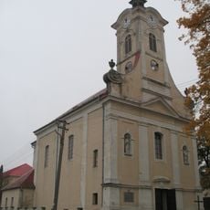
Kostol sv. Mikuláša
7.7 km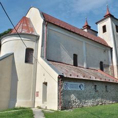
Farský kostol Narodenia P. M. , kostol
3.9 km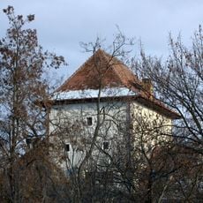
Manor in Žabokreky nad Nitrou
10 km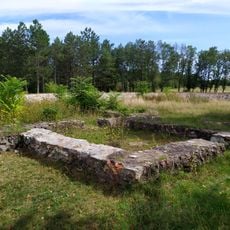
Románsky kostol-základy
9.1 km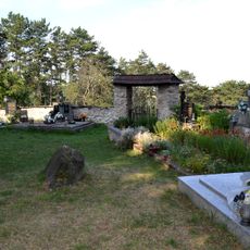
Kostol P. M. Kráľovnej anjelov, cintorín príkostolný
4.4 km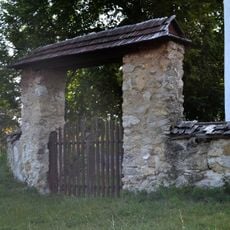
Kostol P. M. Kráľovnej anjelov, múr ohradný s bránou
4.4 km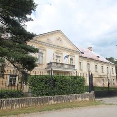
Odescalchi Manor House
4.7 km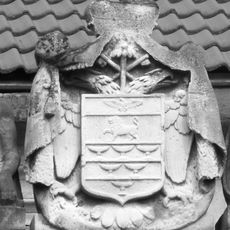
Kaštieľ Odeschalchiovcov, kaštieľ
2.5 km
Kaštieľ Bacskady, Haupt-Stummer, park
7.3 km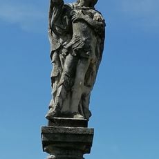
Socha sv. Donáta, socha
9.3 km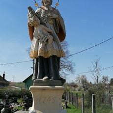
Socha sv. Jána Nepomuckého, socha
9.2 km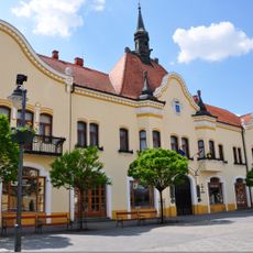
Radnica
2.4 km
Pylón so súsoším
2.7 km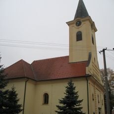
Farský kostol Všetkých svätých
2.2 km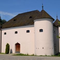
Kaštieľ Novoveskovcov
7.1 km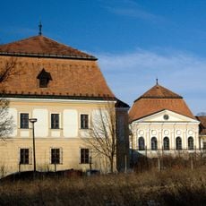
Stummer mansion, Tovarníky
4.4 km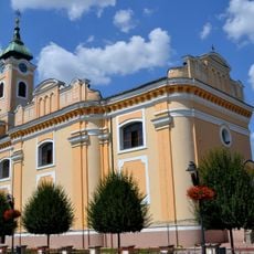
Farský kostol Nanebovzatia P. M
2.4 km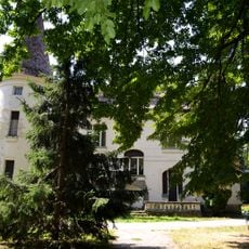
Kaštieľ Bošáni, Langhamer, kaštieľ
8.3 km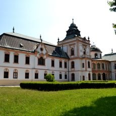
Kaštieľ Bacskady, Haupt-Stummer, kaštieľ
7.3 km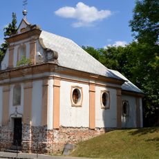
Starý cintorín, kaplnka
2.1 km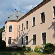
Kaštieľ rod. Nemeshegyi, kaštieľ
3.8 km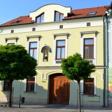
Rímskokatolícka fara
2.4 km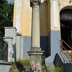
Pieta, stĺp s podstavcom
3.9 km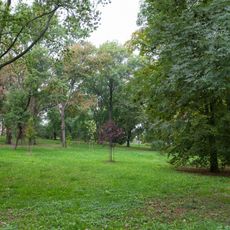
Kaštieľ a park
10.3 kmReviews
Visited this place? Tap the stars to rate it and share your experience / photos with the community! Try now! You can cancel it anytime.
Discover hidden gems everywhere you go!
From secret cafés to breathtaking viewpoints, skip the crowded tourist spots and find places that match your style. Our app makes it easy with voice search, smart filtering, route optimization, and insider tips from travelers worldwide. Download now for the complete mobile experience.

A unique approach to discovering new places❞
— Le Figaro
All the places worth exploring❞
— France Info
A tailor-made excursion in just a few clicks❞
— 20 Minutes