·

Enable Location

We need your location to show you interesting places around you

Discover nearby places

Find interesting locations and hidden gems around you

Precise directions

Get accurate directions and distances to places

Your location is never shared with other users. It's only used when you tap the location button.

Nitra Region

Log in to your account

Start exploring — it's free

Trusted by 62,647 travelers worldwide

Continue with Google
Continue with Apple
or

We will send you a code to connect

By continuing, you accept our Terms and Conditions and our Privacy Policy

Check your inbox

We've sent a pincode in your inbox. Please enter the code below.

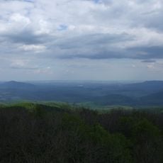
Nitra Region, Administrative region in western Slovakia

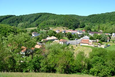
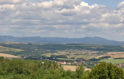
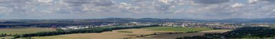
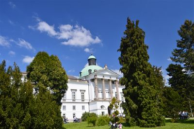
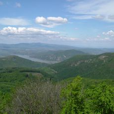
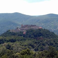
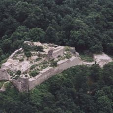
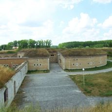
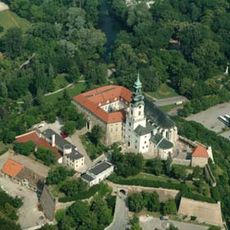
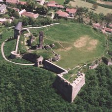
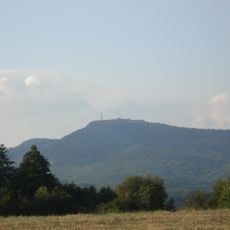
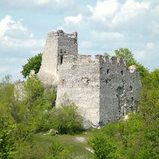
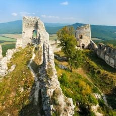
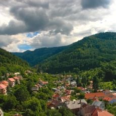
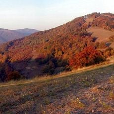
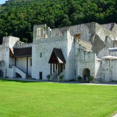
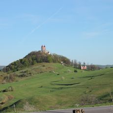
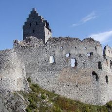
Nitra Region is an administrative area in southwestern Slovakia that spans flat to rolling terrain with scattered settlements and agricultural land. It contains several castles, including Gýmeš and Hrušov, which rise above the countryside and serve as visible landmarks across the landscape.

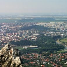
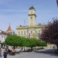
The area became an administrative unit in 1923 and took its current form following a territorial reorganization in 1996. The city of Nitra became the regional center and continues in that role today.

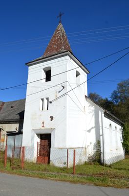
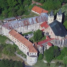
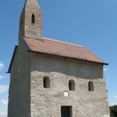
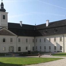
Medieval churches such as the one in Dražovce shape the region's character, reflecting centuries of Christian tradition in the area. These religious structures remain visible landmarks that connect visitors to how faith has shaped local communities over time.

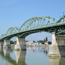
The region is easily accessible via modern highways connecting to Bratislava and regular train services to nearby cities. Visitors can explore the area by car, as main towns and sites are well connected by road.

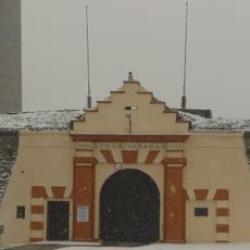
A nuclear power plant within the region plays a major role in the country's energy production and shapes the economic character of the area. This facility is a significant employer and demonstrates the industrial side of the region alongside its agricultural heritage.

The community of curious travelers

AroundUs brings together thousands of curated places, local tips, and hidden gems, enriched daily by 60,000 contributors worldwide.

Start exploring
Location
Inception
July 24, 1996
Capital city
Nitra
Reference
SK023
Part of
Western Slovakia
Shares border with
Banská Bystrica Region, Trenčín Region, Trnava Region, Pest County, Komárom-Esztergom County, Győr-Moson-Sopron County, Nógrád County
Website
GPS coordinates
48.58160,20.05161
Latest update
December 20, 2025 14:32
« Nitra Region - Administrative region in western Slovakia » is provided by Around Us (aroundus.com). Images and texts are derived from Wikimedia project under a Creative Commons license. You are allowed to copy, distribute, and modify copies of this page, under the conditions set by the license, as long as this note is clearly visible.

Discover hidden gems everywhere you go!

From secret cafés to breathtaking viewpoints, skip the crowded tourist spots and find places that match your style. Our app makes it easy with voice search, smart filtering, route optimization, and insider tips from travelers worldwide. Download now for the complete mobile experience.

Around Us App Screenshot

A unique approach to discovering new places

Le Figaro

All the places worth exploring

France Info

A tailor-made excursion in just a few clicks

20 Minutes

Around Us
Travel Guide & Maps
Download

Send to your phone

QR Code
1

Open the camera app on your mobile.

2

Point at the QR code with your camera. A notification will appear.

3

Tap the notification to open the link.