Vtáčnik

Log in to your account

AroundUs is a community-driven map of interesting places, built by curious explorers like you. It grows with every review, story, and photo you share.
Connect to save your favorite spots, contribute locations, and create personalized routes.
Continue with Google
Continue with Apple
Continue with X
Continue with Facebook
Continue with email
By continuing, you accept our Terms and Conditions and our Privacy Policy
Create an account
Add to collection
Map
Suggest a change
Share

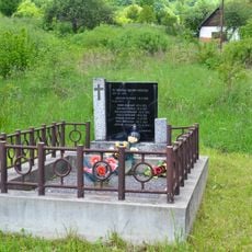
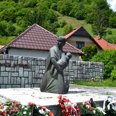
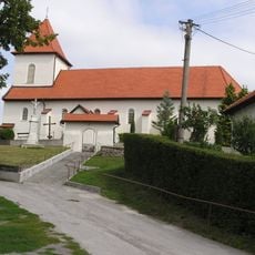
Vtáčnik, Mountain summit in Žarnovica District, Slovakia.

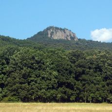
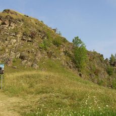
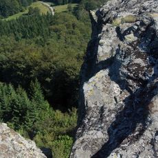
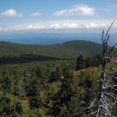
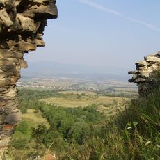
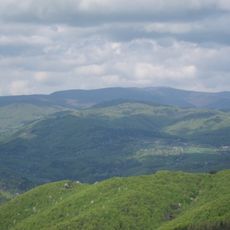
Vtáčnik is a summit reaching 1346 meters (4400 feet) with steep slopes covered by dense forest on its northeastern and southwestern sides. The upper portions offer open areas with wider views, while lower sections remain heavily forested.

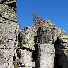
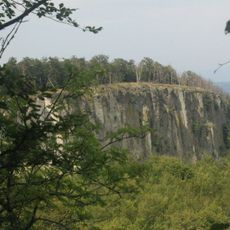
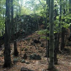
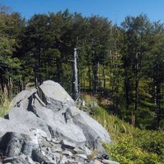
Vtáčnik formed during intense volcanic activity in the Neogene period, creating the rocky foundation of the mountain. This geological history left the summit with its characteristic steep structure and mineral-rich composition.

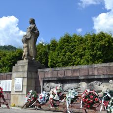
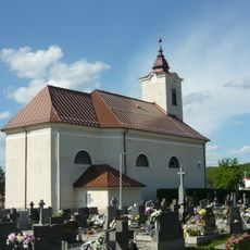
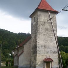
Local hikers and mountain clubs view this summit as a key destination in the regional climbing culture. The routes here reflect generations of foot traffic and shared knowledge about navigating the terrain.

Multiple marked trails approach the summit from the Žarnovica and Prievidza districts, each with different starting points and difficulty levels. Winter climbing requires additional gear and caution, as conditions change quickly at higher elevations.

The protected area holds rare plant species found nowhere else in the region, making it botanically special. Mountain eagles nest here and observers may spot them soaring above the slopes during clear days.

Location: Žarnovica District

Location: Prievidza District

Elevation above the sea: 1,346 m

GPS coordinates: 48.62469,18.63482

Latest update: December 10, 2025 15:49

Photos
Reviews

Visited this place? Tap the stars to rate it and share your experience / photos with the community! Try now! You can cancel it anytime.

« Vtáčnik - Mountain summit in Žarnovica District, Slovakia » is provided by Around Us (aroundus.com). Images and texts are derived from Wikimedia project under a Creative Commons license. You are allowed to copy, distribute, and modify copies of this page, under the conditions set by the license, as long as this note is clearly visible.

Discover hidden gems everywhere you go!

From secret cafés to breathtaking viewpoints, skip the crowded tourist spots and find places that match your style. Our app makes it easy with voice search, smart filtering, route optimization, and insider tips from travelers worldwide. Download now for the complete mobile experience.

Around Us App Screenshot

A unique approach to discovering new places

Le Figaro

All the places worth exploring

France Info

A tailor-made excursion in just a few clicks

20 Minutes