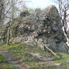
Csóványos, Mountain summit in Pest County, Hungary
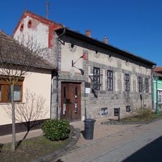
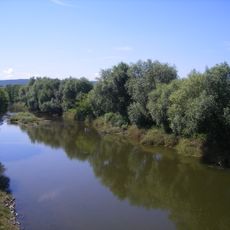
Csóványos is the highest peak in the Börzsöny mountain range of northern Hungary, rising to 938 meters. The summit can be reached from several starting points, with Diósjenő being one of the most commonly used trailheads in the region.
The mountain has served as a navigation landmark and border marker for local communities since medieval times when the region was first settled. Over the centuries, shepherds and hunters used the slopes, establishing routes and gathering places across the terrain.
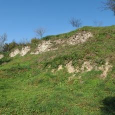
The name comes from local words meaning "rocky" or "stony", reflecting the rough nature of the terrain. Visitors today notice how people come here to feel connected to the landscape and to experience the views that shaped local identity for centuries.
Several marked hiking trails lead to the summit from different directions, with routes of varying difficulty available for different skill levels. Most paths are accessible throughout the year, though autumn and winter months may present slippery conditions on steeper sections.
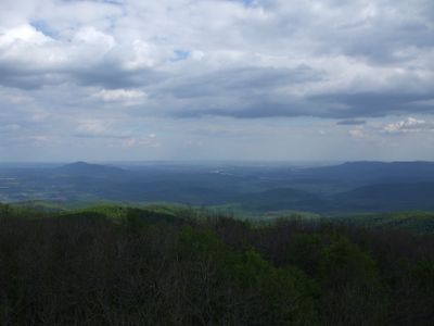
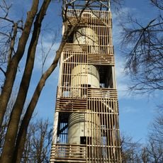
A lookout tower crowns the summit and offers views extending to four countries on clear days: Hungary, Slovakia, Austria, and Ukraine. This structure makes the summit a destination for visitors seeking panoramic perspectives across the border regions.
The community of curious travelers
AroundUs brings together thousands of curated places, local tips, and hidden gems, enriched daily by 60,000 contributors worldwide.