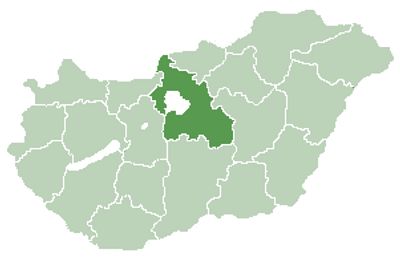
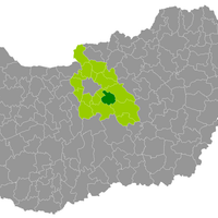
Pest County, Administrative county in Central Hungary.
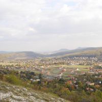
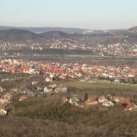
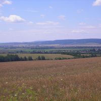
Pest is an administrative area in Central Hungary that surrounds the capital Budapest in a horseshoe shape. The terrain ranges from forested mountains in the north to flat plains in the south, while the Danube flows through the middle.
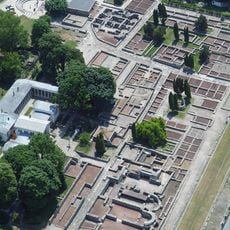
The region took its current form after the Second World War, when a larger territory was divided. The original administrative unit dates back to the 11th century, when the Kingdom of Hungary formed its first districts.
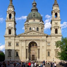
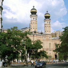
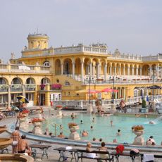
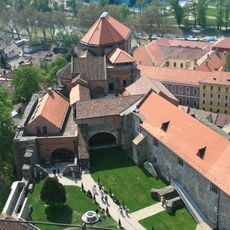
The name comes from the historic city of Pest, now part of Budapest. Visitors still find traditional markets in the region's villages and small towns, where local vendors sell regional products.
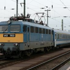
Travelers usually navigate through Budapest, as most main roads and the international airport connection pass through the capital. Smaller settlements are often best reached by local buses or car, while larger towns offer regular train connections.
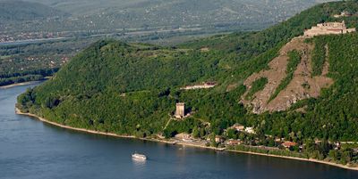
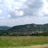
The Danube makes a natural bend near Szentendre and changes its flow direction from east to south. This curve creates an area with hills on one side and flat banks on the other.
The community of curious travelers
AroundUs brings together thousands of curated places, local tips, and hidden gems, enriched daily by 60,000 contributors worldwide.