
Čertižné, municipality of Slovakia
Location: Medzilaborce District
Inception: 1431
Elevation above the sea: 438 m
Website: https://certizne.eu
GPS coordinates: 49.35000,21.82500
Latest update: March 2, 2025 22:35
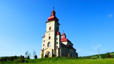
Church of Saint Nicolas
8.5 km
Jaśliska Landscape Park
7.5 km
Kamień
5.3 km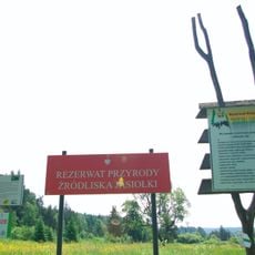
Rezerwat przyrody Źródliska Jasiołki
7.6 km
Kościół św. Katarzyny Aleksandryjskiej w Jaśliskach
10.2 km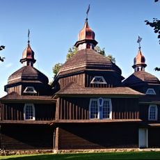
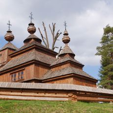
Temple of the Protection of the Mother of God, Nižný Komárnik
9.6 km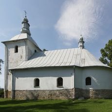
Church in Wola Niżna
8.9 km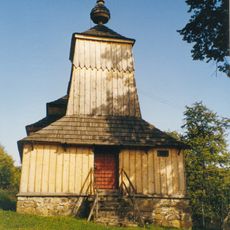
Saint Michael Church in Príkra
6.4 km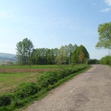
Cmentarz żydowski w Jaśliskach
9.4 km
Medzilaborce Miasto
10.1 km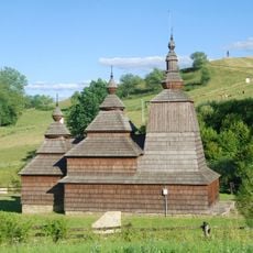
Church of Saint Nicholas in Habura
4 km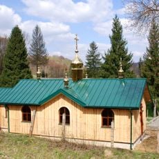
Saints Peter and Paul Orthodox church in Bodružal
8.5 km
Miroľská slatina
7.4 km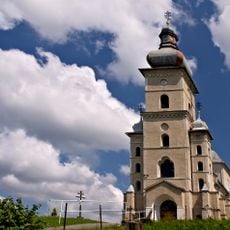
Chrám Nanebovstúpenia Pána
368 m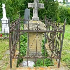
Stavrovský-Popradov
408 m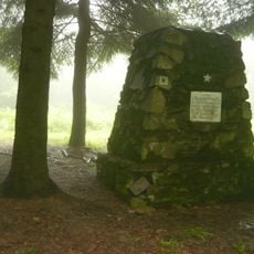
Pomník sov. armády
9.8 km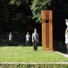
Vojnový cintorín I. sv. vojny
8.5 km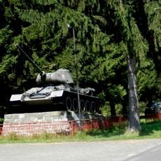
Prechod hraníc sov. arm.
8.4 km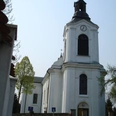
Saint Catherine of Alexandria church in Jaśliska
10.2 km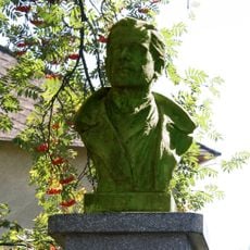
Pomník Ľ. Kukorellimu
5.4 km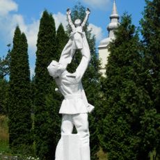
Pomník oslobodenia
7.7 km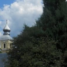
Chrám sv. Michala, kostol
3.8 km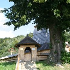
Chrám Panny Márie Ochrankyne, brána
7.1 km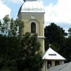
Chrám sv. Michala, zvonica
3.8 km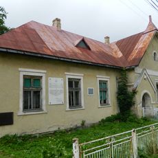
Obecný úrad
228 m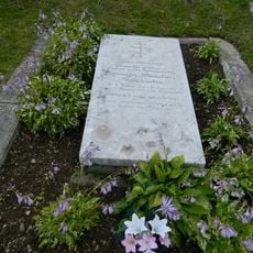
Politik, publicista
408 m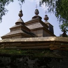
Chrám gr. k. sv. Mikuláša(Bazila), brána
8.5 km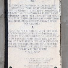
Pamätná tabuľa roľníckej vzbury v 1935
3.9 kmVisited this place? Tap the stars to rate it and share your experience / photos with the community! Try now! You can cancel it anytime.
Discover hidden gems everywhere you go!
From secret cafés to breathtaking viewpoints, skip the crowded tourist spots and find places that match your style. Our app makes it easy with voice search, smart filtering, route optimization, and insider tips from travelers worldwide. Download now for the complete mobile experience.

A unique approach to discovering new places❞
— Le Figaro
All the places worth exploring❞
— France Info
A tailor-made excursion in just a few clicks❞
— 20 Minutes