
Veľké Zálužie, municipality of Slovakia
Location: Nitra District
Inception: 1261
Elevation above the sea: 180 m
Website: https://www.velkezaluzie.eu
Website: https://velkezaluzie.eu
GPS coordinates: 48.30944,17.93889
Latest update: April 23, 2025 21:33
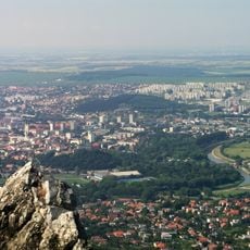
Danubian Lowland
7.6 km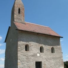
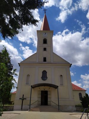
St. Michael the Archangel Church
10.1 km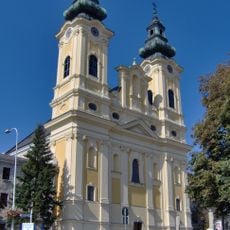
Church of Saint Ladislaus in Nitra
10.7 km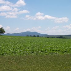
Nitrianska pahorkatina
4.3 km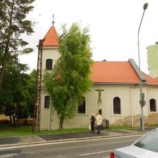
Church of Saint Stephen, Nitra
10.6 km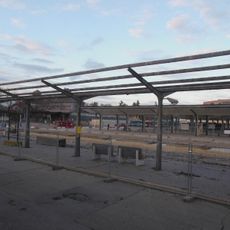
Bus station Nitra
10.5 km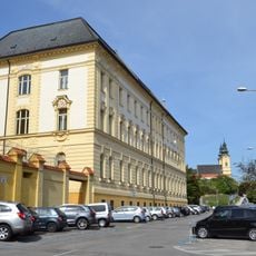
Justičný palác (Nitra)
10.7 km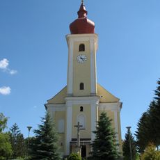
St. Martin Church
4 km
Kostol Narodenia Panny Márie (Lužianky)
7.8 km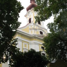
Kostol sv. Klimenta, kostol
8.6 km
Areál farského kostola, súsošie-socha I.
10.1 km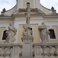
Areál farského kostola, súsošie-socha III.
10.1 km
Areál farského kostola, súsošie-socha II.
10.1 km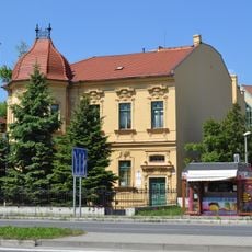
Tomaschekova vila, vila
10.8 km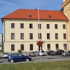
Piaristický kláštor, gymnázium, kolégium piaristov
10.7 km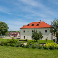
Starý kaštieľ
7.2 km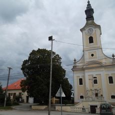
Areál farského kostola, kostol
10.1 km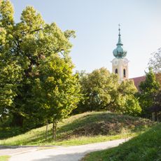
Hrádok
9.3 km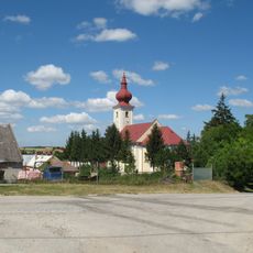
Kostol sv. Martina s areálom, múr hradbový
3.9 km
Zvonica
7.5 km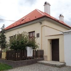
Areál farského kostola, fara pamätná
10.1 km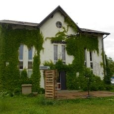
Trafostanica, Klub podnikateľov
10.3 km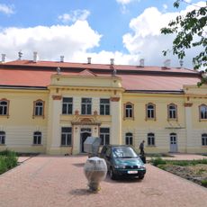
Sasinkovo Manor house
9.8 km
Areál farského kostola, súsošie-kríž s korpusom
10.1 km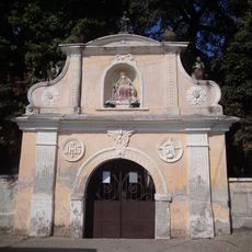
Filiálny kostol sv. Kataríny, opevnenie kostola
9.9 km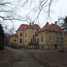
Alexandrov dvor, kaštieľ
3.6 km
Areál farského kostola, krypta
10.1 km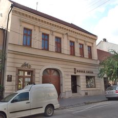
Meštiansky dom
7.8 kmReviews
Visited this place? Tap the stars to rate it and share your experience / photos with the community! Try now! You can cancel it anytime.
Discover hidden gems everywhere you go!
From secret cafés to breathtaking viewpoints, skip the crowded tourist spots and find places that match your style. Our app makes it easy with voice search, smart filtering, route optimization, and insider tips from travelers worldwide. Download now for the complete mobile experience.

A unique approach to discovering new places❞
— Le Figaro
All the places worth exploring❞
— France Info
A tailor-made excursion in just a few clicks❞
— 20 Minutes