Roháčka, Mountain summit in Prešov District, Slovakia
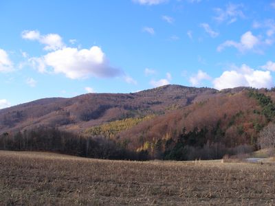
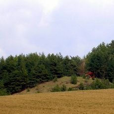
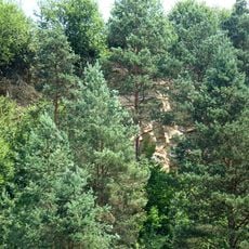
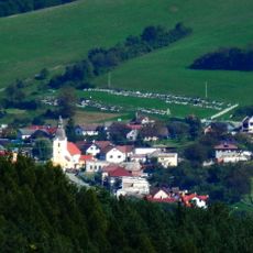
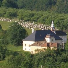
Roháčka is a mountain summit reaching approximately 1028 meters elevation and forming the highest point of the Čierna hora range in eastern Slovakia. The peak sits between Prešov and Gelnica districts and is surrounded by dense forests covering its slopes.
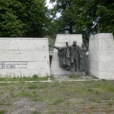
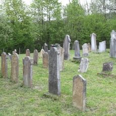
The northwestern slope features an ancient formation called Spilled Rock, adorned with traditional wooden statues and religious crosses dating from past centuries. These monuments reflect the long connection between local people and this mountain peak.
Local mountaineers maintain a summit register in a metal box at the peak, where visitors record their names following a tradition deeply rooted in Slovak hiking culture.
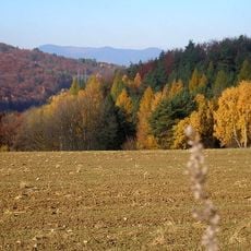
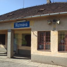
The peak is accessible from several surrounding villages including Margecany, Kluknava, and Klenov, with each route offering different hiking experiences. Dense forest coverage requires proper footwear and good navigation skills, especially during changing weather conditions.
The dense forests create distinct natural sounds throughout the seasons, shaping the hiking experience as conditions change. A notable belt of rocky boulders forms striking geological patterns across the slopes.
Location: Prešov District
Location: Gelnica District
Elevation above the sea: 1,028.5 m
GPS coordinates: 48.92389,21.01270
Latest update: December 14, 2025 16:42
Bujanov Tunnel
6.5 km
Scharoscher Bergland
8 km
Ružínsky viadukt
9 km
Dunitová skalka
8.2 km
Church of the Transfiguration, Sedlice
8.1 km
Podmorský zosuv
5.6 km
Richnava railway station
6.4 km
Vila
9.3 km
Kostol sv. Michala
9.5 km
Starý kostol sv. Ondreja, cintorín príkostolný
6.8 km
Kostol sv. Michala
8.1 km
Gelnica, stone bridge
9.5 km
Evanjelický kostol
7.6 km
Nájomný dom
9.5 km
Kostol sv. Antona Pustovníka, kostol
5.4 km
Chrám Ochrany Presvätej Bohoro, zvonica drevená
3.2 km
Pamätné miesto s pamätníkom, pamätník
9.1 km
Ružín railway station
8.9 km
Kostol sv. Kríža, zvonica
7.1 km
Kúria
5.5 km
Starý kostol sv. Ondreja, múr ohradný
6.8 km
Kostol sv. Antona Pustovníka, kaplnka
5.4 km
Nemocnica
9.4 km
Meštiansky dom
9.5 km
Meštiansky dom
9.4 km
Kaštieľ
7.2 km
Pamätné miesto s pamätníkom, budova administratívna
9.1 km
Židovský cintorín
9.1 kmVisited this place? Tap the stars to rate it and share your experience / photos with the community! Try now! You can cancel it anytime.
Discover hidden gems everywhere you go!
From secret cafés to breathtaking viewpoints, skip the crowded tourist spots and find places that match your style. Our app makes it easy with voice search, smart filtering, route optimization, and insider tips from travelers worldwide. Download now for the complete mobile experience.
A unique approach to discovering new places❞
— Le Figaro
All the places worth exploring❞
— France Info
A tailor-made excursion in just a few clicks❞
— 20 Minutes