
Runina, municipality of Slovakia
Location: Snina District
Inception: 1569
Elevation above the sea: 550 m
Website: https://www.runina.sk
Shares border with: Smerek, Podkarpackie Voivodeship, Zboj, Ruský Potok, Topoľa, Stakčín
Address: Obecný úrad Runina 54 067 65 (pošta Topoľa) 067 65 (pošta Topoľa)
Phone: +421577698116
Email: obecrunina@stonline.sk
Website: https://runina.sk
GPS coordinates: 49.07194,22.40167
Latest update: March 14, 2025 23:31

Stužica
9.7 km
Rabia Skała
4.5 km
Okrąglik
8.8 km
Dziurkowiec
3.5 km
Jawornik
8.1 km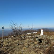
Płasza
4.6 km
Prírodná rezervácia Borsukov vrch
6.3 km
Jarabá skala
3.2 km
Borsuk
6.5 km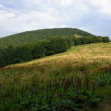
Czoło
5.7 km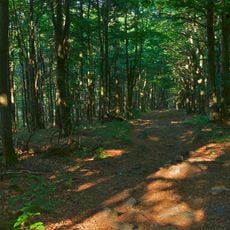
Czerteż
8.5 km
Hrubki
9.7 km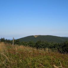
Pľaša (národná prírodná rezervácia)
4.7 km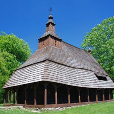
Temple of St Michael, Topoľa
4.5 km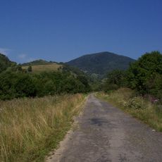
Ruské
5.7 km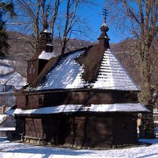
Temple of St. Michael the Archangel
4.8 km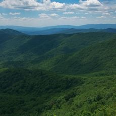
Veľký Bukovec
3.6 km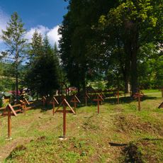
Vojnový cintorín 1. sv. vojny
4.5 km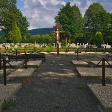
Vojnový cintorín 1. sv. vojny
7.7 km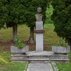
Pomník Alexandra Duchnovičova
4.5 km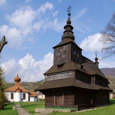
Býv. gr. k. chrám sv. Michala, kostol drevený
4.8 km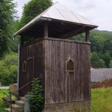
Wooden bell tower in Kolbasov
7.4 km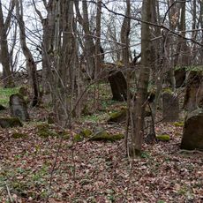
Židovský cintorín
4.8 km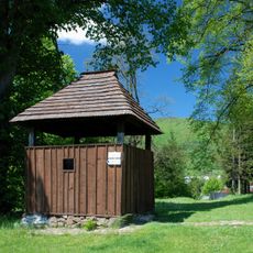
Chrám gr. k. sv. Michala, zvonica drevená
4.5 km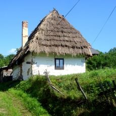
Ľudový dom
8.8 km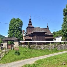
Býv. gr. k. chrám sv. Michala, brána opevnenia
4.8 km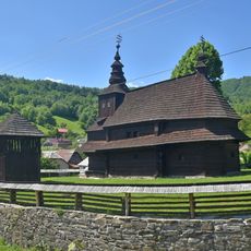
Býv. gr. k. chrám sv. Michala, opevnenie kostola
4.8 km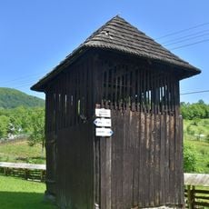
Býv. gr. k. chrám sv. Michala, zvonica drevená
4.8 kmReviews
Visited this place? Tap the stars to rate it and share your experience / photos with the community! Try now! You can cancel it anytime.
Discover hidden gems everywhere you go!
From secret cafés to breathtaking viewpoints, skip the crowded tourist spots and find places that match your style. Our app makes it easy with voice search, smart filtering, route optimization, and insider tips from travelers worldwide. Download now for the complete mobile experience.

A unique approach to discovering new places❞
— Le Figaro
All the places worth exploring❞
— France Info
A tailor-made excursion in just a few clicks❞
— 20 Minutes