
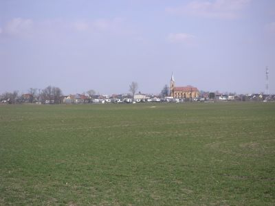
Jakubov, municipality of Slovakia
Location: Malacky District
Inception: 1460
Elevation above the sea: 154 m
Website: http://jakubov.sk
GPS coordinates: 48.41389,16.92500
Latest update: April 14, 2025 05:11
The Chapel of St. Roch
6.3 km
St. Georg
6.4 km
Pruxe
2.6 km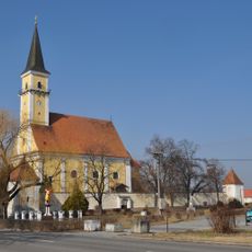
Church of the Annunciation
5.9 km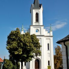
Agatha of Sicily Church
6.6 km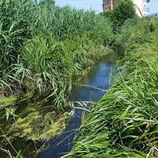
Oliva
6.3 km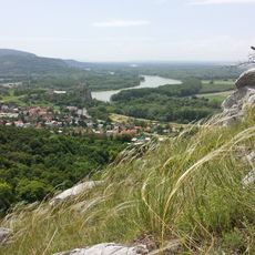
Dolnomoravská niva
5.5 km
Šmolzie
3.6 km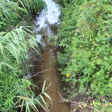
Balážov potok
6.7 km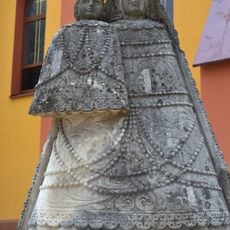
Madona s dieťaťom, socha
195 m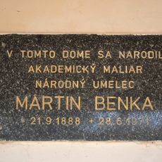
Rodný dom M. Benku, tabuľa pamätná
5.6 km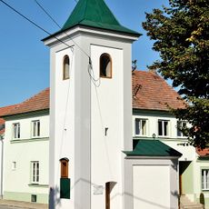
Ortskapelle Grub
6.5 km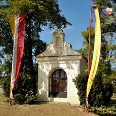
Maria-Hilf Chapel
6.6 km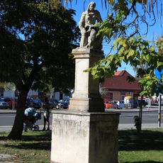
Socha sv. Anny
7.3 km
Museum Stillfried
6.1 km
Socha sv. Antona Pad. na stĺpe, stĺp s podstavcom
7.3 km
Socha sv. Antona Pad. na stĺpe, socha
7.3 km
Rodný dom M. Benku, dom pamätný
5.6 km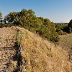
Urzeitliche Siedlung am Buhuberg
6.8 km
Kostol Nanebovzat. Panny Márie
6.8 km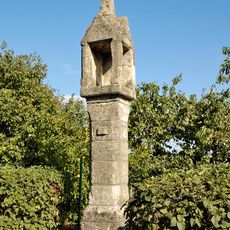
Tabernakelpfeiler
6.6 km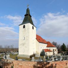
Kirchhof
6.4 km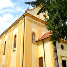
Kostol Všetkých svätých
6.8 km
Fundzone Marchfeld-Ost
7.3 km
Befestigte Höhensiedlung Kirchenberg
6.3 km
Volksschule und Museum
6.1 km
Befestigte Höhensiedlung Kirchenberg
6.4 km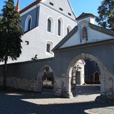
Františkánsky kláštor, kláštor františkánov
7.3 kmReviews
Visited this place? Tap the stars to rate it and share your experience / photos with the community! Try now! You can cancel it anytime.
Discover hidden gems everywhere you go!
From secret cafés to breathtaking viewpoints, skip the crowded tourist spots and find places that match your style. Our app makes it easy with voice search, smart filtering, route optimization, and insider tips from travelers worldwide. Download now for the complete mobile experience.

A unique approach to discovering new places❞
— Le Figaro
All the places worth exploring❞
— France Info
A tailor-made excursion in just a few clicks❞
— 20 Minutes