
Lehota pod Vtáčnikom, municipality of Slovakia
Location: Prievidza District
Inception: 1362
Elevation above the sea: 384 m
Website: http://lehotapodvtacnikom.sk
GPS coordinates: 48.69528,18.60472
Latest update: March 20, 2025 14:20


Vtáčnik
8.2 km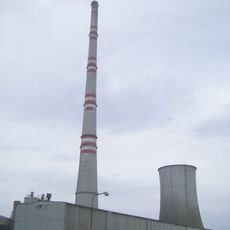
Novaky Power Plant
5.6 km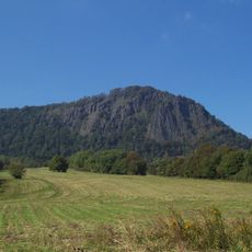
Veľký Grič
8.2 km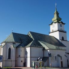
Saint Bartholomew church, Prievidza
8.8 km
Weißer Stein
6.1 km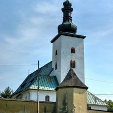
Church of the Assumption of the Holy Virgin
8.8 km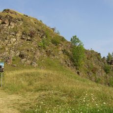
Sivý kameň
2.6 km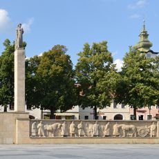
Námestie slobody (Prievidza)
8.6 km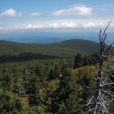
Rezerwat przyrody Vtáčnik
8.2 km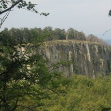
Biely kameň
6 km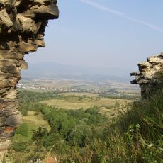
Sivý Kameň Castle
2.7 km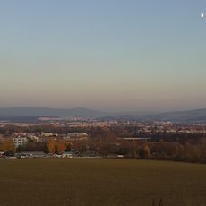
Prievidzská kotlina
8.9 km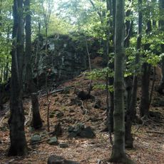
Jarabá skala
6.1 km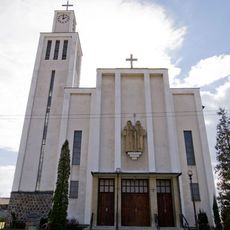
Church of Saints Cyril and Methodius
775 m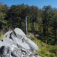
Orlí kameň
5.9 km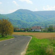
Tlstý diel
5.4 km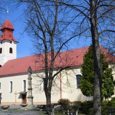
Saint Nicholas church, Nováky
5.4 km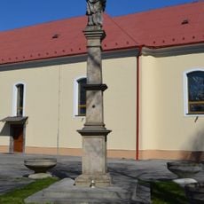
Mariánsky stĺp, socha
5.4 km
Pomník padlým v SNP
8.7 km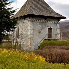
Obytná veža, "sýpka"
6 km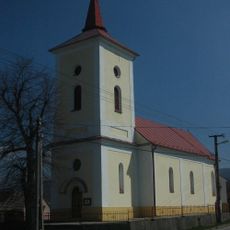
Farský kostol sv. Barbory
4.3 km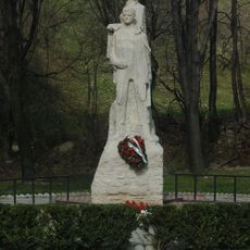
Pamätník SNP
3.5 km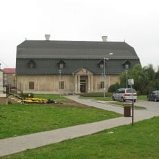
Kúria
5.4 km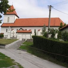
Kostol Všetkých svätých
3.9 km
Mariánsky stĺp, pilier
5.4 km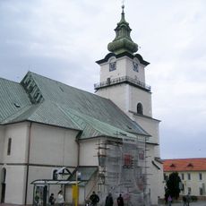
Farský kostol sv. Bartolomeja
8.8 km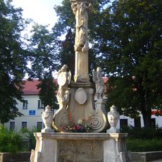
Trojičný stĺp, Morový stĺp, pilier s podstavcom
8.7 km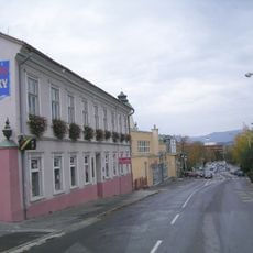
Meštiansky dom
8.8 kmReviews
Visited this place? Tap the stars to rate it and share your experience / photos with the community! Try now! You can cancel it anytime.
Discover hidden gems everywhere you go!
From secret cafés to breathtaking viewpoints, skip the crowded tourist spots and find places that match your style. Our app makes it easy with voice search, smart filtering, route optimization, and insider tips from travelers worldwide. Download now for the complete mobile experience.

A unique approach to discovering new places❞
— Le Figaro
All the places worth exploring❞
— France Info
A tailor-made excursion in just a few clicks❞
— 20 Minutes