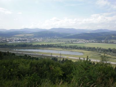
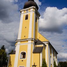
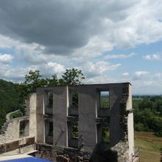
Považské podolie, Valley region in Žilina District, Slovakia.
Považské podolie is a valley region in Slovakia that follows the course of the Váh River and lies between the Javorníky and White Carpathian mountains. The valley spans multiple districts and connects numerous towns and villages along its length.
The valley landscape formed during the Eocene and Oligocene epochs through geological processes that created layers of sandstone, siltstone, and limestone. These geological foundations continue to shape the terrain and character of the region today.
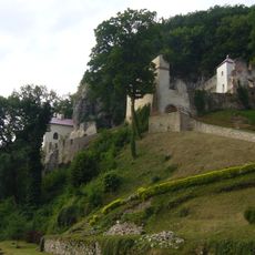
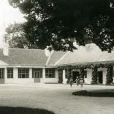
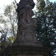
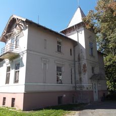
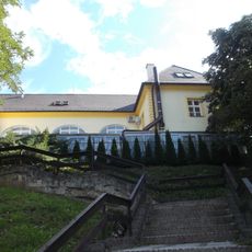
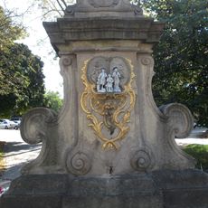
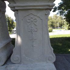
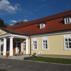
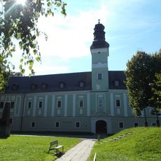
Small towns and villages scattered through the valley have shaped a rhythm of rural life tied closely to the river and surrounding farmland. Local crafts and agricultural traditions remain visible in how communities use and care for their landscape.
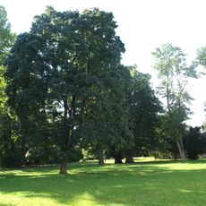
The region offers an extensive network of walking and cycling routes connecting villages and hillsides throughout the valley. Visitors can easily explore the agricultural landscapes and smaller communities by foot or bicycle at a comfortable pace.
The left and right banks of the Váh River have noticeably different soil types, leading to distinct agricultural practices and vegetation on each side. This influence of river geology on daily life becomes visible to observant visitors through the different ways the land is used and farmed.
Location: Žilina District
Location: Bytča District
Location: Považská Bystrica District
Location: Ilava District
Location: Púchov District
Location: Trenčín District
Location: Nové Mesto nad Váhom District
GPS coordinates: 48.94167,18.10889
Latest update: December 14, 2025 09:41
Skalka near Trenčín
4 km
Benediktova jeskyně
4 km
Jaskyňa nad cestou
3.9 km
Jaskyňa pod Jeleňom
5.5 km
Príleský kaštel
2.3 km
Sv. Ján Nepomucký s anjelmi, socha
5 km
Sv. Ján Nepomucký s anjelmi, socha
5 km
Kostol sv. Jakuba apoštola
5.2 km
Stĺp hanby
5 km
Sv. Ján Nepomucký s anjelmi, socha
5 km
Socha sv. Jána Nepomuckého, socha
4.2 km
Vila Krista
5.6 km
Benediktínsky, jezuitský klášt. , jaskyňa s portálom
4 km
Kostol sv. Michala archanjela
2.5 km
Madona Assumpta-Nanebovzatá, socha
5.2 km
Reimova vila
4.8 km
Sv. Ján Nepomucký s anjelmi, podstavec
5 km
Benediktínsky, jezuitský klášt. , konvent
4 km
Dubnický kaštieľ, dom služobníctva
4.7 km
Sv. Ján Nepomucký s anjelmi, podstavec
5 km
Socha sv. Jána Nepomuckého, podstavec
4.2 km
Madona Assumpta-Nanebovzatá, podstavec
5.2 km
Dubnický kaštieľ, park
4.8 km
Sv. Ján Nepomucký s anjelmi, podstavec
5 km
Kaštieľ Borčických, Sipekyovcov, kaštieľ
4.4 km
Dubnický kaštieľ, kaštieľ
5 km
Benediktínsky, jezuitský klášt. , múr hradbový
4 km
Kaštieľ Borčických, Sipekyovcov, park
4.4 kmVisited this place? Tap the stars to rate it and share your experience / photos with the community! Try now! You can cancel it anytime.
Discover hidden gems everywhere you go!
From secret cafés to breathtaking viewpoints, skip the crowded tourist spots and find places that match your style. Our app makes it easy with voice search, smart filtering, route optimization, and insider tips from travelers worldwide. Download now for the complete mobile experience.
A unique approach to discovering new places❞
— Le Figaro
All the places worth exploring❞
— France Info
A tailor-made excursion in just a few clicks❞
— 20 Minutes