
Artillery Fortification Bunker I, národní kulturní památka v Bratislavě, okrese Bratislava IV
Location: Bratislava
Inception: 20 century
GPS coordinates: 48.19197,17.02187
Latest update: April 25, 2025 01:36

Crematorium Bratislava
2.6 km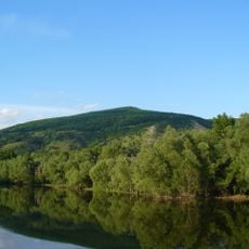
Thebener Kogel
2 km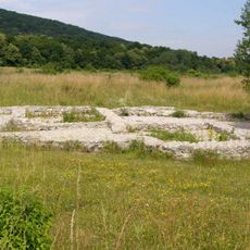
Veľká lúka
603 m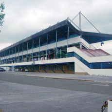
Stadium ŠKP Inter Dúbravka
2.7 km
Devínska Kobyla
2.1 km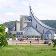
Church of the Holy Spirit
1.4 km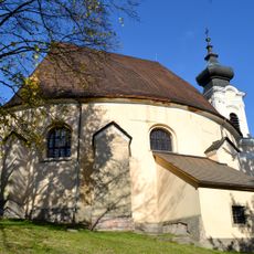
Church of St Cosmas and Damian, Bratislava
832 m
Memorial to the victims of World War I, Lamač
2.1 km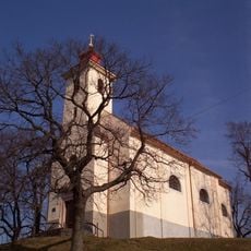
Chapel of Saint Rozalia
2.1 km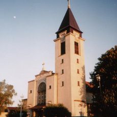
Church of Saint Margaret of Hungary, Lamač
2.1 km
Fialková dolina
2.7 km
Kaplnka Panny Márie Ružencovej
364 m
Devínska Kobyla (geomorfologická část)
1.6 km
Štokeravská vápenka
1.9 km
Devínska lesostep
3.4 km
Katolícka fara
3.3 km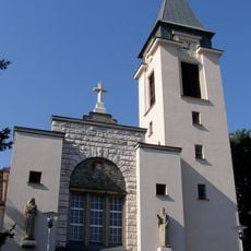
Farský kostol sv. Margity
2.1 km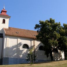
Kostol sv. Rozálie
2.1 km
Meštiansky dom
3.3 km
Kaplnka Panny Márie Ružencovej, kaplnka
401 m
Pamätník padlým v I. +II. sv. v. , podstavec
2.1 km
Ľudový dom
2.6 km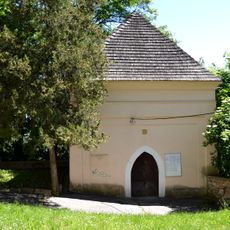
Kost. sv. Kozmu a Dam. s kaplnkou, kaplnka
827 m
Remeselnícky dom
3.4 km
Meštiansky dom
3.4 km
Bývalá fara
3.3 km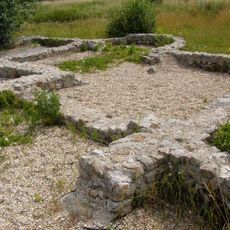
Villa rustica
605 m
Zigrayho kúria
3.3 kmReviews
Visited this place? Tap the stars to rate it and share your experience / photos with the community! Try now! You can cancel it anytime.
Discover hidden gems everywhere you go!
From secret cafés to breathtaking viewpoints, skip the crowded tourist spots and find places that match your style. Our app makes it easy with voice search, smart filtering, route optimization, and insider tips from travelers worldwide. Download now for the complete mobile experience.

A unique approach to discovering new places❞
— Le Figaro
All the places worth exploring❞
— France Info
A tailor-made excursion in just a few clicks❞
— 20 Minutes