
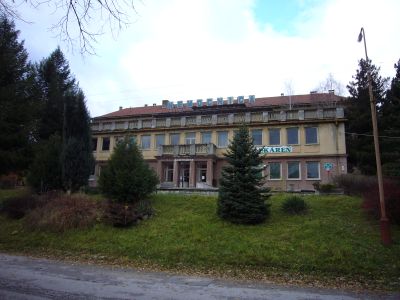
Nemocnica, hospital in Gelnica, Slovakia
Location: District of Gelnica
GPS coordinates: 48.85673,20.93397
Latest update: November 29, 2025 16:55

Folkmarská skala
6.5 km
Kostol Nanebovzatia Panny Márie
387 m
Helzmanowitz
6 km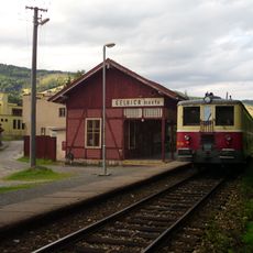
Gelnica mesto railway station
684 m
Vila
211 m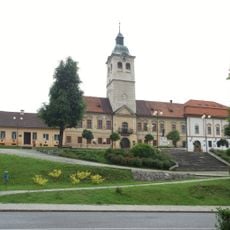
Radnica
519 m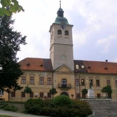
Radnica
602 m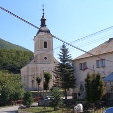
Chrám sv. Petra a Pavla
5.5 km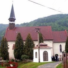
Kostol sv. Antona Pustovníka, kostol
5 km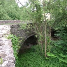
Gelnica, stone bridge
566 m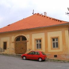
Nájomný dom
534 m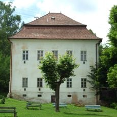
Nájomný dom
120 m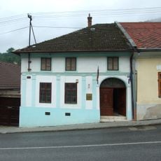
Banícky dom
613 m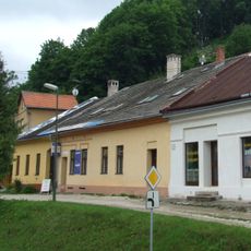
Banícky dom
690 m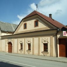
Meštiansky dom
463 m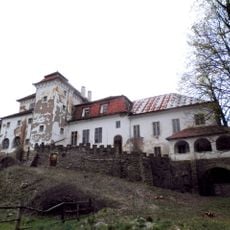
Kúria
5.1 km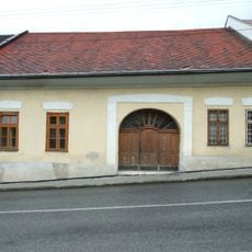
Banícky dom
626 m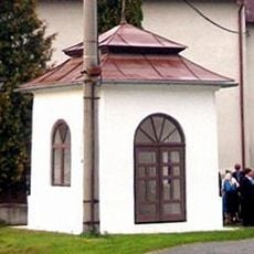
Kostol sv. Antona Pustovníka, kaplnka
5 km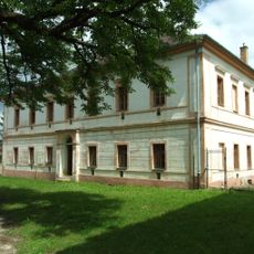
Meštiansky dom
181 m
Banícky dom
718 m
Meštiansky dom
637 m
Meštiansky dom
682 m
Banícky dom
788 m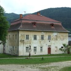
Meštiansky dom
170 m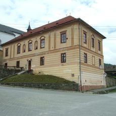
Katolícka fara
421 m
Administratívna budova
530 m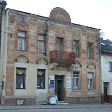
Meštiansky dom
544 m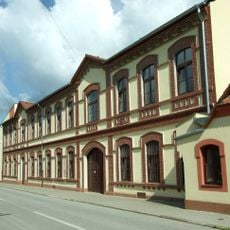
Budova Ľudového súdu
454 mVisited this place? Tap the stars to rate it and share your experience / photos with the community! Try now! You can cancel it anytime.
Discover hidden gems everywhere you go!
From secret cafés to breathtaking viewpoints, skip the crowded tourist spots and find places that match your style. Our app makes it easy with voice search, smart filtering, route optimization, and insider tips from travelers worldwide. Download now for the complete mobile experience.

A unique approach to discovering new places❞
— Le Figaro
All the places worth exploring❞
— France Info
A tailor-made excursion in just a few clicks❞
— 20 Minutes